Melbourne Neighborhoods: Historic Eau Gallie, Downtown and the Suburban West
Melbourne Neighborhoods: Historic Eau Gallie, Downtown and the Suburban West
Melbourne is four or five different buys wearing one city name, and the street you choose changes your inspection report, your tax bill and your daily drive more than the address suggests.
A buyer told me last spring that she wanted "Melbourne," and she meant it the way people mean a town with one main street. Melbourne is not that. It is a mainland city on the west bank of the Indian River Lagoon that absorbed another incorporated city in 1969, grew a second walkable core three miles south of the first, spread north along Wickham Road into unincorporated Brevard County, and pushed west along US-192 until it ran into another municipality entirely and then into the St. Johns River marshes. Four of those places have a Melbourne mailing address. Not all four are inside the city limits. They are governed differently, built differently, insured differently and taxed differently, and the difference does not show up in a listing photograph.
So the first question I ask is never "what is your budget." It is "which Melbourne do you have in your head?" Once we settle that, the search gets short and the surprises get rare. What follows is how I take the city apart with buyers, in the order the money and the paperwork show up. If you want the wider frame on the city first, read my Melbourne real estate guide and then come back here for the neighborhood-level view.
One city, several different places
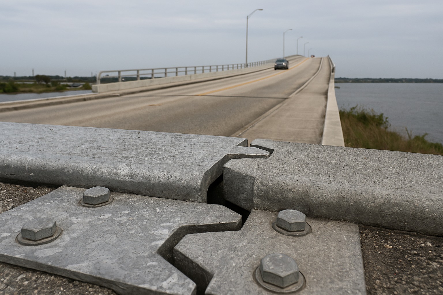
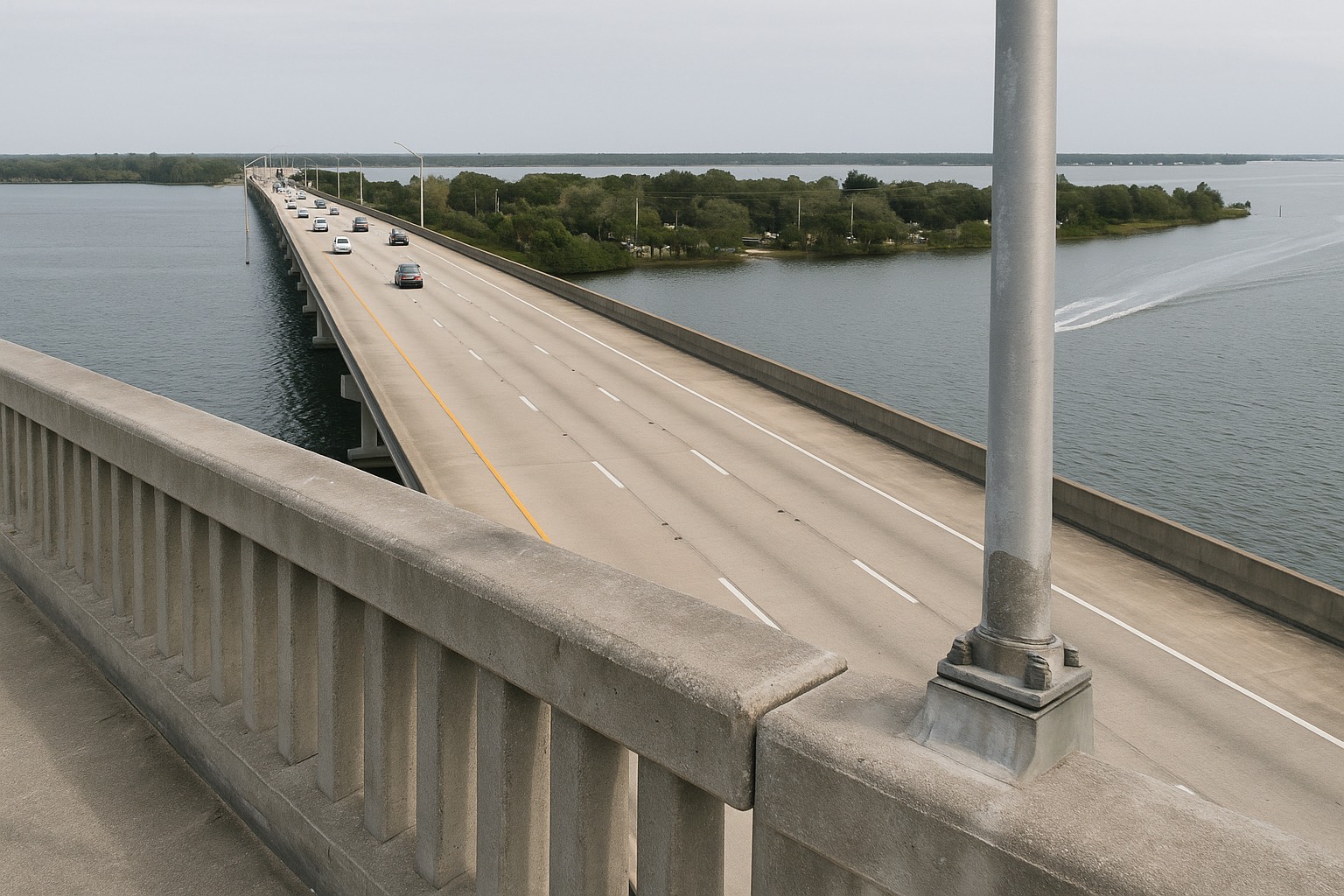
Start with the map, because the geography explains almost everything else. Melbourne sits on the mainland. The Indian River Lagoon runs along its eastern edge, and three fixed crossings carry traffic east over the water: the Melbourne Causeway (US-192) from downtown to Indialantic, the Eau Gallie Causeway (State Road 518) from Eau Gallie to Indian Harbour Beach, and the Pineda Causeway (State Road 404) further north toward Patrick Space Force Base. The barrier-island towns on the far side of those crossings, Indialantic, Indian Harbour Beach, Satellite Beach, Melbourne Beach, are separate municipalities with their own city halls, their own building departments and their own coastal rules. Crossing a causeway is crossing a jurisdiction.
West of the lagoon, the city has no single core. It organizes itself around a handful of arterials. US-1 runs north-south along the water. Babcock Street (State Road 507) runs south toward Palm Bay. New Haven Avenue (US-192) runs west from downtown toward Interstate 95. Wickham Road runs north from the Eau Gallie area toward Suntree and Viera. Eau Gallie Boulevard cuts east-west between them. Where those roads intersect is where the housing changes character, and it changes fast, you can go from 1920s wood frame to 1960s concrete block to recent stucco-over-block inside two miles.
Two administrative facts do more damage to buyer assumptions than anything else in this city. First, a Melbourne mailing address does not prove a parcel is inside the City of Melbourne; large stretches of Suntree and the corridors west of town are unincorporated Brevard County. Second, West Melbourne is its own incorporated city with its own council and its own building department, and the name misleads buyers into reading it as a compass direction inside Melbourne. Both facts change who issues your permit, who bills your utilities, and which municipal millage lands on your tax notice. The only way to settle it for a specific address is to pull the parcel at the Brevard County Property Appraiser and read the taxing-district and municipality fields on the record itself.
The one-line version
Eau Gallie and downtown are older, denser, closer to the water and closer to a walk; north Melbourne and Suntree are 1980s-through-2000s suburban with more association rules; the west is the newest stock, the biggest lots and the longest drive back east. Every one of those trades character for predictability, or the other way around.
Eau Gallie: the arts district on the river
Eau Gallie was its own incorporated city until it merged with Melbourne in 1969, and it still reads as a separate town if you walk it. The core sits where the Eau Gallie River meets the Indian River Lagoon, centered on Highland Avenue just north of Eau Gallie Boulevard, a few blocks from the western foot of the Eau Gallie Causeway. Ballard Park sits on the river with a boat ramp; the Eau Gallie Public Library and the small commercial blocks of the arts district sit within a short walk of each other. You can see the footprint on a map of the Eau Gallie Arts District. The City of Melbourne, which annexed the place, is the authority on the merger history and on current district boundaries, confirm it at the city's own site, a listing description is not a source.
The housing stock is the oldest concentration in the city. Wood-frame bungalows and early masonry cottages on narrow lots near the river, then a ring of mid-century concrete block, then post-war ranches as you move west toward US-1 and north toward Sarno Road. Lot lines are irregular. Mature oaks and old palms are common. Sidewalks exist in patches. Several streets dead-end at the water instead of connecting through, which is pleasant to live on and confusing to drive.
What older stock asks of you is a four-point inspection and an insurance strategy, in that order. On Florida houses of this era I want the roof, electrical, plumbing and HVAC looked at before the contract gets far, because that is the same list a carrier will ask for at binding. Cast-iron drain lines corrode from the inside. Polybutylene supply piping shows up in houses built from the late 1970s into the mid-1990s and is a known underwriting problem. Aluminum branch wiring, common from the mid-1960s into the early 1970s, is another. None of these makes a house unbuyable. Each is a line item, and cheaper to find during your inspection period than during your first renewal. I break down the wind-versus-flood side of that in Melbourne versus the barrier island on insurance.
Flood here is decided parcel by parcel. The Eau Gallie River, Crane Creek to the south, and the lagoon shoreline all create higher-risk parcels that sit a block or two from lower-risk ones, because the ground is not as flat as it looks from a car window. Pull the address at the FEMA Flood Map Service Center, read the zone and the Base Flood Elevation, and let that record settle the question. The regional walkthrough is in Space Coast flood zones explained.
One thing Eau Gallie does not carry, and buyers coming from the beach side are relieved to hear it: Florida DEP's Coastal Construction Control Line, the permitting line that governs building near the ocean dune system, sits over barrier-island parcels rather than mainland ones. That changes what a renovation or an addition requires. I cover the line itself in the Coastal Construction Control Line guide.
Downtown and New Haven Avenue
Three miles south of Eau Gallie, Melbourne has a second core, and it is the one most visitors picture. Historic downtown runs along New Haven Avenue west of US-1, with Crane Creek and the Crane Creek Promenade at its eastern end and the Melbourne Causeway lifting off toward Indialantic just beyond. The commercial blocks are low, close-set and continuous, which is unusual in Brevard County, most of the county's retail is set back behind parking. You can see the grid at downtown Melbourne on the map.
The residential blocks immediately north and south of New Haven are the other place in the city where you find genuinely old houses. Frame vernacular, bungalows, early masonry, deep lots, alleys in places, big canopy trees. Florida Institute of Technology's campus sits a short distance south near Country Club Road and Babcock Street, which puts a walkable institutional anchor at the bottom edge of the district. Zoning varies block by block here, and some parcels permit multifamily or mixed use where the street looks single-family. Pull the zoning designation and the recorded land use for the parcel and its neighbors at the Brevard County Property Appraiser before you assume what can be built next door.
| Area | Predominant stock | Street pattern | Who governs it | Check first |
|---|---|---|---|---|
| Eau Gallie | Early frame and masonry near the river, mid-century concrete block outward | Irregular grid, several streets ending at the water | City of Melbourne | Four-point inspection; FEMA zone at the parcel |
| Downtown / New Haven | Bungalows and early masonry on the residential blocks; continuous low commercial on the avenue | Walkable grid with alleys in places | City of Melbourne | Zoning of adjacent parcels; roof and electrical age |
| North Melbourne & Suntree | 1980s–2000s suburban single-family, townhomes, some golf-course frontage | Collector roads feeding cul-de-sacs off Wickham Road | City of Melbourne in part; unincorporated Brevard County in part | Whether the parcel is inside city limits; HOA documents |
| West toward I-95 | Newest construction, larger and more regular lots, some acreage further out | Subdivision loops off Minton Road, Hollywood Boulevard and US-192 | City of West Melbourne or unincorporated Brevard County | Which city you are in; water and sewer versus well and septic |
Structure and jurisdiction summary compiled from the Brevard County Property Appraiser parcel records and the City of Melbourne's published municipal information, August 2026. Boundaries change with annexation: verify the municipality on the parcel record for any specific address.
The downside of both historic cores. They are small. Downtown Melbourne is a few walkable blocks, and Eau Gallie's arts district is smaller still. Step two streets off either one and you are back in ordinary mainland Brevard, where the grocery store is an arterial drive and the sidewalk gives out. Buyers who move here expecting a continuously walkable city are the ones who end up disappointed, and I would rather say that plainly before we tour than hear it after closing. If daily walkability is your top criterion, the comparison worth running is these two small cores against the beachside towns, which is exactly the trade I lay out in beachside versus mainland Brevard.
North Melbourne, Suntree and where the city line falls
Head north on Wickham Road from Eau Gallie Boulevard and the city changes era roughly every mile. First the 1960s and 1970s subdivisions between Sarno Road and Post Road, then the 1980s and 1990s builds around Suntree, then the newer planned neighborhoods approaching the Pineda Causeway interchange and, beyond that, Viera. The road itself is the spine of the mainland's north end, and you can trace the whole sequence along Wickham Road.
Housing here is suburban in the ordinary sense: single-family homes on regular lots, townhome and villa clusters, some golf-course frontage in Suntree, garages facing the street, subdivision entries with signage and landscaping. Roofs are younger than in the historic cores, which usually makes the insurance conversation easier. Homeowners associations are common, and once an association is in the picture the documents matter as much as the house, the budget, the reserve balances, the recorded covenants and restrictions, the architectural-review rules, and the last year of board minutes.
Suntree is the jurisdiction trap. Much of the Suntree area is unincorporated Brevard County even though the mail says Melbourne. That is not a defect. It means a different set of answers to ordinary questions: which sheriff's or police agency responds, who issues a building permit, whether a municipal millage appears on the tax notice, and which utility provides water and sewer. Pull the parcel record at the Property Appraiser and read the taxing districts before you assume anything, and if a community development district covers the parcel on top of an HOA, understand that a CDD assessment is a separate, bond-backed line on the tax bill, the mechanics are the same ones I walk through for CDD fees in Viera.
Brianna's take on the Wickham corridor
North Melbourne is where I send buyers who want newer construction without leaving the eastern half of the county. You keep a real connection to the water: the Pineda Causeway puts the barrier island a short drive away, and you get roofs and wiring that a carrier will look at without flinching. What you give up is the walk. Nothing along Wickham Road is walkable in the way New Haven Avenue is, and the road carries the whole north end's traffic at peak. Drive it at the hour you would be driving it, on a weekday, before you decide.
School assignment on the mainland is by attendance zone, and every public school in the county is operated by Brevard Public Schools. Zones are redrawn from time to time and do not follow subdivision boundaries, so confirm the assignment for the specific address you are considering. A listing remark will not settle it; the district's own address lookup will. That is true everywhere in Melbourne, and it is the only reliable method.
The suburban west and the I-95 corridor
Run west on New Haven Avenue from downtown and you cross into the City of West Melbourne, a separate municipality with its own city council and its own building department. Keep going and the corridor opens out around Minton Road, Hollywood Boulevard and the Interstate 95 interchange, and then into unincorporated Brevard County toward the St. Johns River basin. This is the newest housing in the Melbourne area by a wide margin: later subdivisions, larger and more regular lots, contemporary stucco-over-block construction, and, further out, parcels with acreage and agricultural history.
What newer construction buys. A roof with documented age. Windows and shutters built to current code. Plumbing and wiring that raise no underwriting questions. A wind-mitigation inspection that usually earns credits, I explain how that inspection works in the wind mitigation credit guide. For buyers who do not want a renovation project, those advantages usually outweigh everything the historic blocks offer.
What it costs you. Distance, first. Every trip east: to the lagoon, to downtown, to a causeway, to the beach, is a drive down US-192 or Palm Bay Road at the hour everybody else is making it. Rules, second: newer subdivisions here typically come with an association, and sometimes a community development district on top of it. And utilities, third. Inside West Melbourne's city limits you are generally on municipal water and sewer; further west in unincorporated Brevard, well and septic are common, which changes your inspection list, your maintenance calendar and your lender's requirements. Ask which one the parcel has, in writing, before the inspection period closes.
Water matters on this side of town for a second reason. The far west of the corridor runs toward the Upper St. Johns River Basin marshes, managed by the St. Johns River Water Management District. Flood risk out here is not driven by the ocean at all; it is driven by rainfall, drainage and the basin. That surprises people who assume the flood conversation belongs to the coast. Pull the FEMA zone on any western parcel with the same discipline you would use on a lagoon-front lot.
Melbourne versus West Melbourne, in one paragraph
They are two governments. The City of Melbourne issues permits, sets its own millage and runs its own utilities inside its limits; the City of West Melbourne does the same inside its own. A parcel with a Melbourne mailing address can be inside either one, or inside neither if it is unincorporated Brevard County. Read the municipality field on the parcel record at the Property Appraiser, then take your permitting and utility questions to whichever city hall the record names. The tax mechanics behind those millages are laid out in Brevard County property taxes explained.
Matching the area to the way you live
Here is the sequence I use with buyers. It puts the constraints first and the preferences second.
- Fix the commute before the neighborhood. If someone in the household works near Melbourne Orlando International Airport, the NASA Boulevard and Apollo Boulevard employment area, or the Florida Tech campus, that pins the search geographically before any other criterion. I mapped the whole employment core and the drives into it in the Melbourne commute map.
- Decide how old a building you are willing to own. This is the single largest fork in the road. Pre-1980 stock in Eau Gallie and downtown means a four-point inspection, an insurance strategy and a renovation budget. Post-2005 stock in the west means an association, a longer drive and less character. Both are fine answers. Pretending the difference is cosmetic is not.
- Pull the parcel before you tour. Municipality, taxing districts, assessed value against market value, and any exemption already on the record. The Property Appraiser's parcel search answers all of it in two minutes, and it will occasionally tell you the house you are excited about sits in a different city than you thought.
- Pull the FEMA zone at the same time. Zone and Base Flood Elevation, every parcel, every time, lagoon front, creek adjacent, or six miles west near the basin.
- Read the association documents as though they were the house. Budget, reserves, covenants, architectural rules, minutes. If there is a CDD, add the assessment to your carrying cost and understand its term.
- Check your own exemption math. Florida's homestead exemption and the Save Our Homes assessment cap change what a given parcel costs you to hold, and portability can move part of a prior cap with you. The rules are in the homestead and Save Our Homes guide.
- Drive it twice. Once on a weekday at the hour you would commute, once on a weekend evening. Wickham Road, New Haven Avenue and the causeways behave differently at different hours.
If you are still weighing whole towns against each other, work the wider question first in which Space Coast town fits you, then use this post to land on a specific side of the city. And when you are ready to look at what is on the market on the mainland, the current Melbourne listings and the Melbourne market snapshot are the two places I start with clients.
Frequently asked questions
Is Eau Gallie part of Melbourne, Florida?
Yes. Eau Gallie was a separate incorporated city until it merged with Melbourne in 1969, and it is now a district within the City of Melbourne rather than its own municipality. It still functions as a distinct place on the ground, centered where the Eau Gallie River meets the Indian River Lagoon around Highland Avenue and Eau Gallie Boulevard, with the oldest concentration of housing stock in the city. The City of Melbourne is the authority on the merger history and on current district boundaries. Take any boundary question to the city itself.
What is the difference between Melbourne and West Melbourne?
They are two separate incorporated cities in Brevard County rather than two halves of one city. The City of Melbourne and the City of West Melbourne each have their own council, their own building and permitting department, their own municipal millage and their own utility arrangements. A property with a Melbourne mailing address can sit inside either city, or inside neither if the parcel is in unincorporated Brevard County. The reliable way to settle it for a specific address is to pull the parcel at the Brevard County Property Appraiser and read the municipality and taxing-district fields on the record.
Is Suntree inside the city limits of Melbourne?
Much of the Suntree area along Wickham Road is unincorporated Brevard County even though the mailing address reads Melbourne. That changes practical things: which agency responds to a call, who issues a building permit, whether a municipal millage appears on your tax notice, and which utility provides water and sewer. Some parcels in north Melbourne are inside the city and some are not, and the boundary does not follow subdivision lines. Pull the parcel record at the Brevard County Property Appraiser and read the taxing districts before assuming which government you are buying into.
Which parts of Melbourne have the oldest homes?
The two historic cores. Eau Gallie, around Highland Avenue near the Eau Gallie River and the western foot of the Eau Gallie Causeway, holds the oldest concentration, with early frame and masonry houses on narrow irregular lots and mid-century concrete block spreading outward. The residential blocks immediately north and south of New Haven Avenue in historic downtown Melbourne are the other older pocket, with bungalows, early masonry and deeper lots near Crane Creek. Housing gets progressively newer as you move north along Wickham Road and west along US-192 toward Interstate 95.
Do I need flood insurance on mainland Melbourne?
It depends on the parcel rather than on the neighborhood. Melbourne has higher-risk parcels along the Indian River Lagoon shoreline, the Eau Gallie River and Crane Creek, and it has rainfall-and-drainage flood exposure on the far west of the corridor toward the Upper St. Johns River Basin managed by the St. Johns River Water Management District. Parcels a block apart can carry different designations because the ground is not as flat as it appears. Enter the specific address at the FEMA Flood Map Service Center, read the flood zone and the Base Flood Elevation, and treat that result as the fact for both budgeting and lender requirements.
Do Melbourne neighborhoods have HOA fees?
The historic blocks in Eau Gallie and around New Haven Avenue generally predate the homeowners-association model, while the suburban subdivisions along Wickham Road, in the Suntree area and west toward Interstate 95 commonly have one. Where an association exists, read the recorded covenants and restrictions, the current budget and reserve balances, the architectural-review rules and the last year of board minutes during your inspection period. Some newer communities also sit inside a community development district, which adds a separate bond-backed assessment to the tax bill on top of any association dues, so confirm whether both apply.
How do I find out which public school a Melbourne address is zoned for?
Every public school in the area is operated by Brevard Public Schools, and assignment is by attendance zone. Those zones are redrawn from time to time and do not follow subdivision boundaries, so a listing remark or a neighbor's recollection is not a reliable source. Use the district's own address lookup for the specific parcel you are considering, and confirm it again close to closing if the purchase spans a school year. This applies across Melbourne, in the historic cores and in the newer subdivisions alike.
Which parts of Melbourne are walkable?
Two, and both are small. Historic downtown Melbourne along New Haven Avenue west of US-1 has a few continuous blocks of low, close-set commercial buildings with residential streets on either side, and the Eau Gallie Arts District around Highland Avenue is a smaller version of the same pattern near the river. Step a couple of streets away from either core and the pattern reverts to ordinary mainland Brevard, where errands are an arterial drive and sidewalks are intermittent. If continuous walkability is your leading requirement, compare these two cores directly against the barrier-island towns before deciding.
Keep reading
Still deciding which Melbourne you want?
Send me the two or three addresses you keep coming back to and I will pull the parcel, the municipality, the flood zone and the association documents on each one before we ever schedule a showing. I have served Space Coast clients since 2015, and I would rather rule a street out early than talk you into one.
Data last verified: August 2026. Jurisdiction, parcel, taxing-district and assessed-value points come from the Brevard County Property Appraiser; municipal boundary, permitting and district information from the City of Melbourne; flood zone and Base Flood Elevation from the FEMA Flood Map Service Center; basin and drainage information from the St. Johns River Water Management District; school attendance zones from Brevard Public Schools; road designations from the Florida Department of Transportation. Boundaries, zones, assessments and attendance zones change, verify current specifics with the appropriate authority for your address.
Categories
- All Blogs (48)
- Cost of Living (3)
- Cost of Ownership (25)
- Decision Guide (9)
- Living in Cape Canaveral (8)
- Living in Cocoa Beach (5)
- Living in Melbourne (4)
- Living in Melbourne Beach (5)
- Living in Palm Bay (4)
- Living in Rockledge (3)
- Living in Satellite Beach (6)
- Living in Titusville (6)
- Living in Viera (4)
- Living on Merritt Island (4)
- When Buying (4)
- When Relocating (7)
Recent Posts