Merritt Island's Causeway Commute: KSC, the Cape and the Beaches
Merritt Island's Causeway Commute: KSC, the Cape and the Beaches
Merritt Island sits between two lagoons, so every trip you take off it crosses a bridge — here is what each causeway serves and how that should decide where on the island you buy.
Every place on the Space Coast has one fact that explains it. For Cocoa Beach it is the Atlantic. For Titusville it is the view of Kennedy Space Center across the water. For Merritt Island the fact is simpler and it governs almost everything: there is water on both sides of you, and you cannot leave without crossing a bridge. Groceries, work, the airport, the emergency room, your kid's away game — all of it is on the far side of a causeway. That is the design constraint you are buying into, and once you understand which bridges go where, buying here gets much easier than it looks from a listing portal.
I have shown a lot of homes on this island and the pattern repeats. A buyer falls for a canal lot with a dock, signs, and then discovers on the first Monday that their office sits at the other end of the island's north–south spine, or across a swing bridge that opens for boat traffic. The house was right. The map was wrong. So before you shortlist an address in Merritt Island, let's put the crossings on paper — what each one carries, where it lands, and which end of the island each one really serves.
An island between two lagoons
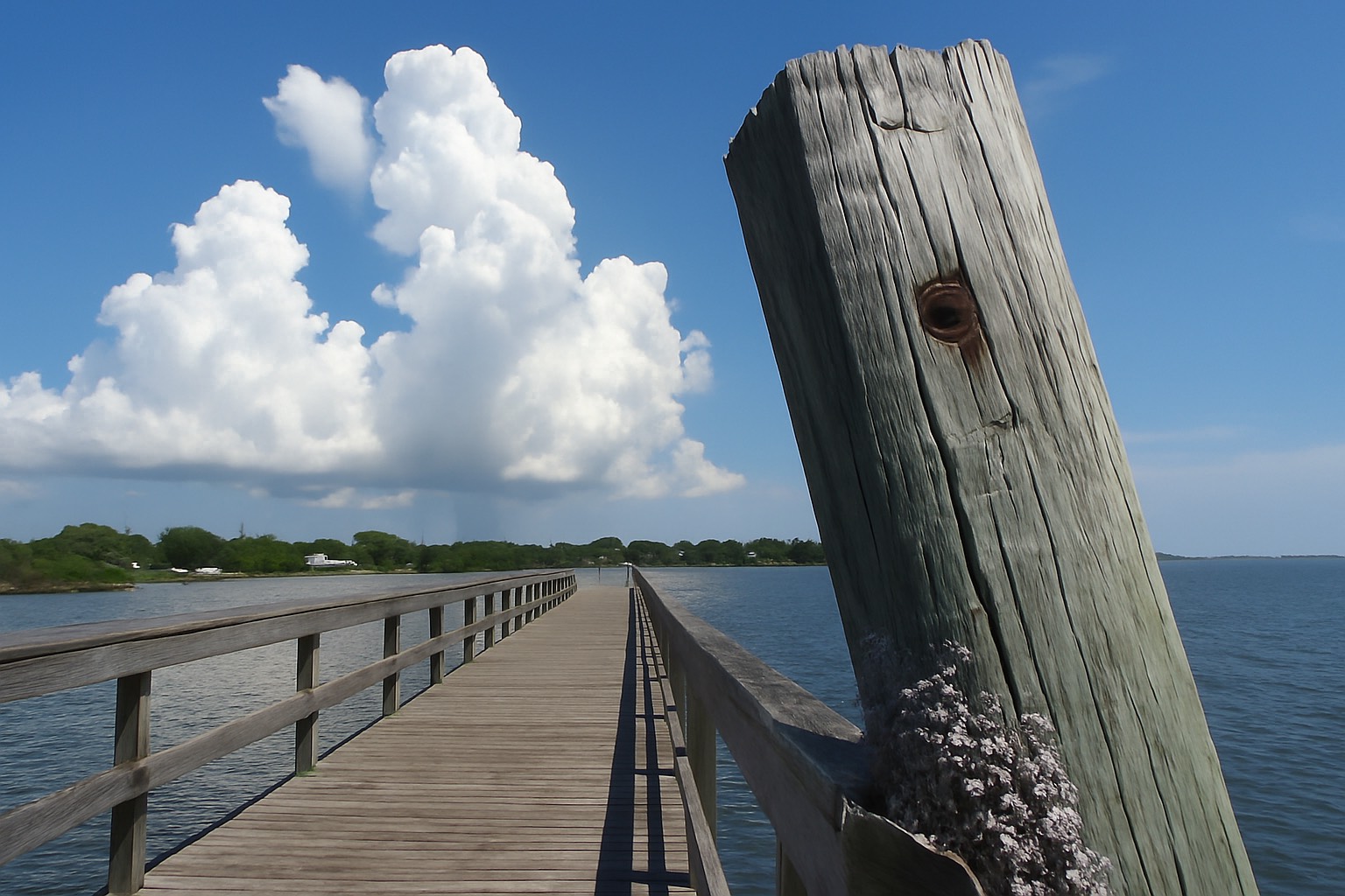
Merritt Island is a long, low island in Brevard County with the Indian River Lagoon on its west side and the Banana River on its east. The mainland — Cocoa, Rockledge, US 1, Interstate 95 — sits across the Indian River. The barrier island — Cocoa Beach, Cape Canaveral, the Atlantic — sits across the Banana River. Merritt Island is the middle layer, and that middle position is the whole story. You can reach the ocean without living on the oceanfront, and you can reach the mainland without living inland, but you pay for both with a bridge in each direction.
Two structural facts surprise newcomers. First, Merritt Island is not an incorporated city. It is unincorporated Brevard County, so the county government sets zoning, runs code enforcement, and provides most services. When you are checking rules on a dock, a fence, or a short-term rental, Brevard County is the authority to ask, and there is no municipal website to fall back on the way there is for Cocoa Beach or Cape Canaveral.
Second, the island is long. North Merritt Island near the Kennedy Space Center boundary and south Merritt Island down by the Banana River narrows are the same postal identity and two very different commutes. An address that reads "Merritt Island, FL" tells you almost nothing on its own. The SR 520 causeway and the Canaveral Barge Canal cut the island into recognizable bands, and where a house sits relative to those two lines matters more than the square footage does.
The Canaveral Barge Canal is the east–west channel that crosses the island and links the Indian River to the Banana River, carrying boat traffic toward the locks at Port Canaveral. It is a genuine dividing line on land as well as on water: north of the canal the island runs toward the space complex and the wildlife refuge, south of it the island runs toward the Pineda and the south beaches. Ask any longtime resident where something is and they will place it north or south of the canal before they give you a street.
The one-line version
On Merritt Island the thing you are buying is a position on a north–south island where every route off it is a bridge. Pick the crossing your week depends on, then buy within easy reach of it.
The causeways and what each one serves
Four road corridors do the work here — three that leave the island and one that runs its length — and each one has a job. Learn these four and the island stops being confusing.
State Road 520 is the island's east–west main street and the crossing most people picture. SR 520 comes off the mainland at Cocoa, crosses the Indian River Lagoon, runs past the commercial strip in the middle of the island, then crosses the Banana River into Cocoa Beach. Mainland shopping one way, ocean the other. It also carries the most traffic of any surface road here — the Florida Department of Transportation publishes the annual traffic counts — and it is the thing my Merritt Island buyers raise first.
State Road 528, the Beachline Expressway, crosses the northern part of the island on a limited-access alignment and continues east to Port Canaveral and Cape Canaveral. Westbound it is the road to Orlando and Orlando International Airport. It is a toll facility over much of its run, and the toll schedule is set by the agency operating each segment — check current rates with the Florida Department of Transportation before you build it into a monthly budget. For a household with an Orlando connection, a north-island address near SR 528 changes the shape of the week.
State Road 3 — Courtenay Parkway — is the north–south spine. It runs the length of the island, north through the Kennedy Space Center property and the Merritt Island National Wildlife Refuge, and south toward the Pineda corridor. SR 3 is the road that makes north-end and south-end addresses feel like different towns, because for most island residents it is the only continuous route from one end to the other.
The Pineda Causeway (State Road 404) is the southern crossing. It leaves Interstate 95 in the Suntree corridor north of Melbourne, crosses the Indian River Lagoon onto south Merritt Island, then crosses the Banana River to State Road A1A near Patrick Space Force Base and the south beaches. For anyone working in the Melbourne employment core or on the south end of the barrier island, the Pineda Causeway is the crossing that decides everything.
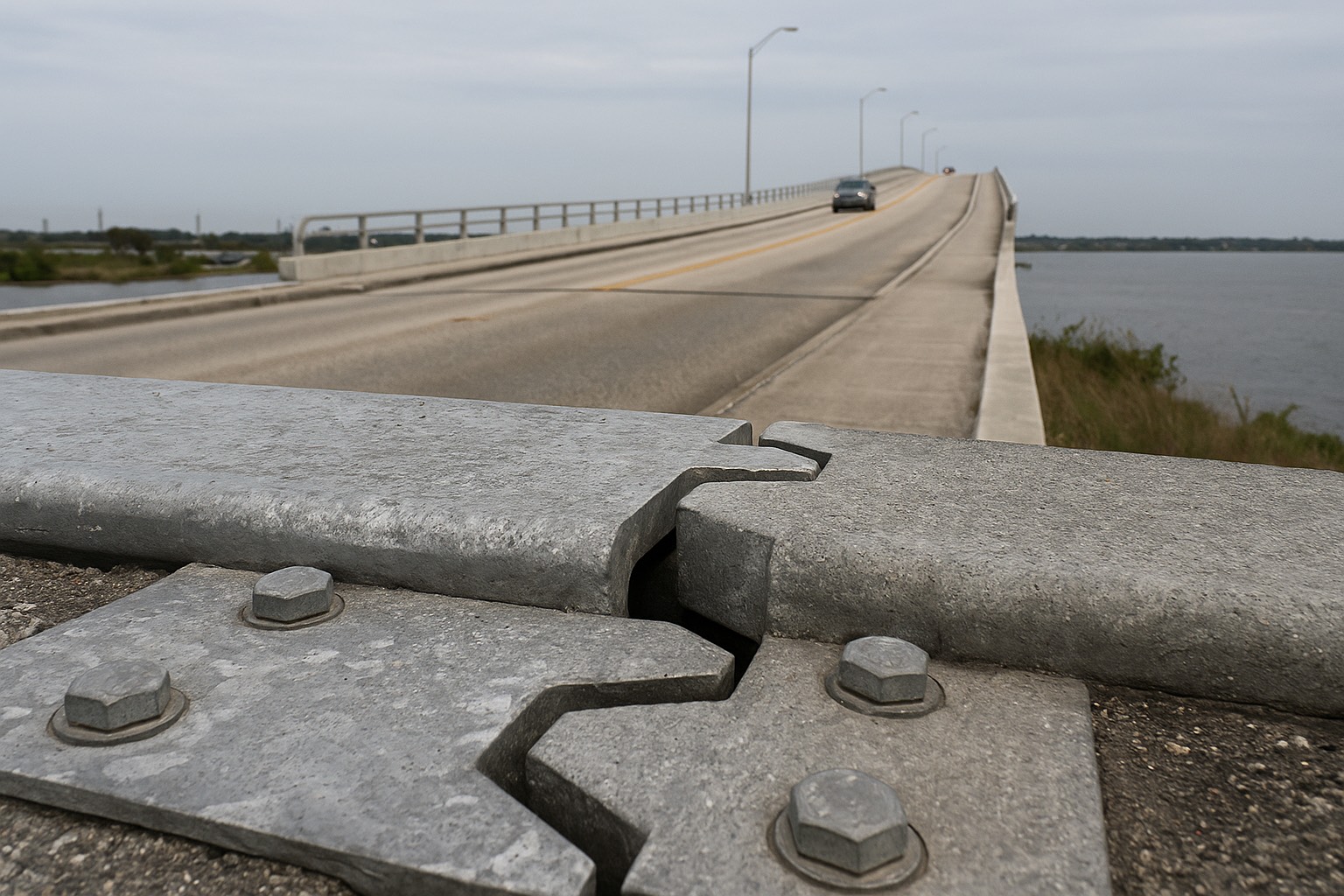
There is a fifth crossing worth knowing about, and it is small. Mathers Bridge sits at the far southern tip of the island, carrying South Tropical Trail over the Banana River to Banana River Drive in Indian Harbour Beach. It is a swing bridge that opens for vessel traffic, which is exactly as charming and as inconvenient as it sounds. It is a lovely drive and a poor primary commute.
| Crossing | Connects | Who it serves |
|---|---|---|
| SR 520 | Cocoa (mainland) → central Merritt Island → Cocoa Beach | Mid-island households working on the mainland or the barrier island; the everyday shopping and errand route. |
| SR 528 (Beachline) | Interstate 95 and Orlando → north Merritt Island → Port Canaveral / Cape Canaveral | Port Canaveral and Space Force commuters, Orlando airport trips, anyone with a regular Orlando run. |
| SR 3 (Courtenay Parkway) | North end (KSC gates) → south end of the island | The internal spine. Kennedy Space Center commuters going north, Pineda users heading south. |
| Pineda Causeway (SR 404) | I-95 / Suntree → south Merritt Island → SR A1A near Patrick Space Force Base | Melbourne-area workplaces, Patrick Space Force Base, Satellite Beach and the south beaches. |
| Mathers Bridge (County Road 3) | Southern tip of Merritt Island → Indian Harbour Beach | A local, low-capacity swing-bridge link. Scenic, and it opens for boats. |
Corridor descriptions above are structural road geography, confirmed against the Florida Department of Transportation and Brevard County as of August 2026. Road names, alignments, toll arrangements and construction projects change — confirm current conditions with FDOT before relying on any route.
North island: KSC, the Cape and SR 3
North Merritt Island runs up toward the boundary of Kennedy Space Center and the Merritt Island National Wildlife Refuge, which share the same enormous block of federal land at the top of the island. That land is the reason the north end feels the way it does. Development stops where the refuge and the space complex begin, so the northern stretch is thinner, quieter, and made up of older single-family homes, some acreage parcels, and long runs of undeveloped land and water on both sides.
For a space-industry household this is the short-commute end. SR 3 runs directly north into the NASA Kennedy Space Center property, and badge holders enter through controlled gates — access, gate hours, and which entrance your badge works at are set by your employer and by KSC security, so confirm those specifics before you decide a house is close to work. A gate you cannot use is not a gate. For Cape Canaveral Space Force Station and the port, SR 528 and SR 401 are the routes, and Port Canaveral publishes the cruise schedule that tells you which days the port road carries heavy passenger traffic.
Here is the honest trade on the north end. You get more room, more water frontage per dollar, and a genuinely short run to the space complex. You also get further from the SR 520 retail corridor, further from the Pineda, and a single practical route south if something closes SR 3. Launch activity is part of the routine too — road closures around the space complex and the causeways on launch days are real, and I cover what that looks like day to day in the Titusville launch-path guide, which reads across the water at the same complex from the other side.
One more north-end point: the wildlife refuge is federal conservation land managed for habitat, and it is not going to become subdivisions. That permanence is one of the better arguments for buying up here. What is next to you now is what will be next to you later.
South island: the Pineda and the beaches
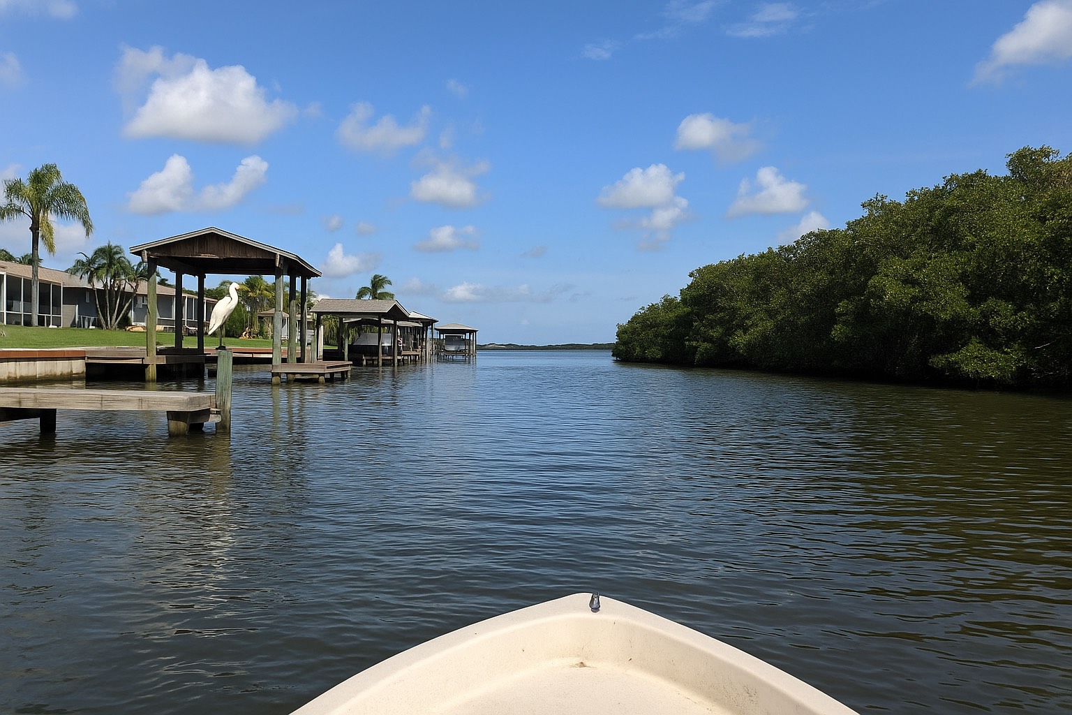
South Merritt Island is a different proposition. Below the barge canal the island narrows, the canal-front and riverfront residential streets take over, and the orientation shifts from the space complex to Melbourne and the south beaches. This is where a lot of the island's dock-and-lift housing sits, and if boating is the reason you are looking here at all, read the Merritt Island boat ownership guide alongside this one — the water access question and the commute question are answered by the same parcel.
The Pineda Causeway is the south end's lifeline. It puts Interstate 95 and the Suntree corridor within one crossing, and it reaches SR A1A near Patrick Space Force Base without routing you all the way up to SR 520. For a household with one person working in Melbourne's engineering and hospital core and another on the barrier island, a south-island address near the Pineda is often the single best geographic compromise on the Space Coast. I say that carefully, because it is a real answer to a real problem: two commutes pointing in different directions.
North Tropical Trail and South Tropical Trail are the same road under two names, split at the SR 520 corridor, running the length of the island's Indian River shoreline west of SR 3 — narrow, canopied, two-lane, pretty to drive and slow by design. If you buy on a Tropical Trail address, your route out is SR 3 or a causeway. The trail itself is scenery.
Brianna's take on the north–south question
When a buyer tells me "Merritt Island," my first question is where each working adult in the household has to physically be, and how many days a week. The island is long enough that the north end and the south end are two separate housing markets wearing the same name. Answer the commute question first and the map cuts itself in half — then we can talk about docks, lot size and canal depth with a much shorter list.
Bridge dependency, storms and evacuation
This is the part I will not soften, because it is the honest downside of island living here. Every route off Merritt Island crosses water. A crash on SR 520, a bridge maintenance closure, or a mechanical problem on a span does not have a neighborhood detour behind it — the alternative is another causeway, potentially several miles north or south. Most weeks that costs you nothing. Some weeks it costs you an afternoon.
Storm season sharpens the same fact. Bridges close when sustained winds reach the threshold the state and county have set, and once that call is made, crossings stop until conditions and inspections allow them to reopen. The threshold and the closure procedure are set by Brevard County Emergency Management together with FDOT — get the current standard from them directly, and do not run on a neighbor's recollection. What matters for a buyer is the implication: on Merritt Island, "we'll leave when it gets bad" is not a plan. You leave before the bridges close, or you stay.
Brevard County publishes evacuation zones by address, and the county's island and barrier-island areas are typically among the first zones called. Before you write an offer, look up the specific parcel's evacuation zone with the county, and look up its flood zone and Base Flood Elevation at the FEMA Flood Map Service Center. Those two lookups take a few minutes each and they tell you more about the real cost of a waterfront address than any listing remark will. The flood-zone designations themselves are unpacked in the Space Coast flood zones guide.
The pre-offer bridge checklist
Count the crossings between the house and each workplace. Identify the backup crossing and drive it once. Look up the parcel's evacuation zone with Brevard County and its flood zone at the FEMA Flood Map Service Center. Ask whether any bridge on your route is a movable span. Then drive the primary route at your real departure and return hours, on a weekday, more than once — and once on a Port Canaveral cruise turnaround day if SR 528 is part of it.
Buying by the commute you will drive every day
Here is the order I work through with buyers on this island, and it is deliberately unromantic at the start.
- Fix the workplaces first. Get the physical addresses and the required on-site days in writing. A hybrid schedule that turns out to be four days on site is a different house search. The wider county picture is laid out in the Space Coast commute comparison.
- Choose your crossing. KSC and the Cape point you north toward SR 3 and SR 528. Melbourne and the south beaches point you to the Pineda. Mainland Cocoa, Rockledge and the retail corridor point you to SR 520. Two commutes in opposite directions usually point to the middle or the south end.
- Then pick the band. North of the barge canal, between the canal and SR 520, or south toward the Pineda. This is the decision that shapes your daily life.
- Verify the parcel. Pull it at the Brevard County Property Appraiser and read the assessed value against the market value, check the flood zone at FEMA, and ask Brevard Public Schools for the attendance zone; listing portals are frequently out of date.
- Compare against the alternatives honestly. If the bridge dependency does not sit well with you, mainland Rockledge and Cocoa give you the lagoon without the crossing, and the barrier island gives you the ocean with a different set of constraints. The trade-offs are side by side in the beachside versus mainland comparison and in Cocoa Beach versus Merritt Island.
When the geography is settled, the inventory question is next, and that is where current Merritt Island listings and the Merritt Island market page earn their keep — you can filter by the band of the island you have chosen instead of scrolling the whole thing. If you are relocating from out of state and none of these road names mean anything yet, start with the Space Coast relocation guide and come back to this one.
Frequently asked questions
How many bridges do you cross to leave Merritt Island?
At least one, always. Merritt Island has the Indian River Lagoon on its west side and the Banana River on its east side, so every route off the island crosses water. Reaching the mainland means crossing the Indian River Lagoon — State Road 520 for Cocoa and Rockledge, State Road 528 for Interstate 95 and Orlando, the Pineda Causeway for Suntree and Melbourne. Reaching the barrier island at Cocoa Beach, Cape Canaveral or the south beaches means crossing the Banana River, on State Road 520, State Road 528, the Pineda Causeway or the small Mathers Bridge at the southern tip. Some trips cross two bodies of water, for example driving from Merritt Island to Interstate 95 and then out to a barrier island address.
Which route do Merritt Island residents drive to Kennedy Space Center and Cape Canaveral Space Force Station?
State Road 3, known locally as Courtenay Parkway, is the north to south spine of Merritt Island and it runs north into the Kennedy Space Center property, which shares its land with the Merritt Island National Wildlife Refuge. Badge holders enter through controlled security gates, so which gate your badge opens and what hours it operates are set by your employer and by KSC security. For Cape Canaveral Space Force Station and Port Canaveral, State Road 528 and State Road 401 are the routes. Confirm your specific gate and access rules with your employer before deciding that a particular house is close to work.
What is the difference between the SR 520 causeway and the Pineda Causeway?
State Road 520 is the island's central east to west corridor. It crosses the Indian River Lagoon from Cocoa on the mainland, runs across the middle of Merritt Island, then crosses the Banana River into Cocoa Beach, which makes it the everyday route for shopping, the mainland and the ocean. The Pineda Causeway, State Road 404, is the southern crossing. It leaves Interstate 95 in the Suntree corridor north of Melbourne, crosses onto south Merritt Island, then crosses to State Road A1A near Patrick Space Force Base. SR 520 serves the middle of the island and points at Cocoa and Cocoa Beach. The Pineda serves the south end and points at Melbourne, Interstate 95 and the south beaches.
Is Merritt Island its own city?
No. Merritt Island is unincorporated Brevard County, not an incorporated municipality, so it has no city hall of its own. Brevard County government sets zoning, handles permitting and code enforcement, and provides most services, which is different from neighboring Cocoa Beach and Cape Canaveral, where a city government does that work. If you are checking rules on a dock, a seawall, a fence, an accessory structure or a rental, Brevard County is the authority to ask. It also means there is no municipal website with local ordinances to consult, so county sources are where you look.
What happens to Merritt Island's bridges during a hurricane or a storm?
Bridges close when sustained winds reach the threshold that state and county authorities have set, and they stay closed until conditions allow reopening and any required inspections are complete. Because every route off Merritt Island crosses water, that closure isolates the island until the crossings reopen. The practical implication for residents is that you leave before the bridges close, while crossing is still possible. Confirm the current threshold, the evacuation zone for a specific address, and the county's evacuation routing with Brevard County Emergency Management rather than relying on secondhand recollection, because those procedures are updated.
How does north Merritt Island differ from south Merritt Island for a commute?
They function as two different locations that share one name. The north end runs toward the Kennedy Space Center boundary and the Merritt Island National Wildlife Refuge, which puts the space complex and State Road 528 within a short run and places the retail corridor and the southern crossings much further away. The south end sits below the Canaveral Barge Canal, narrows toward the Banana River, and is served by the Pineda Causeway, which reaches Interstate 95, the Melbourne employment core and Patrick Space Force Base. The island is long enough that State Road 3 is the only continuous internal route between the two ends, so an address that simply reads Merritt Island tells you very little about the commute.
Do I have to pay tolls to reach Orlando from Merritt Island?
State Road 528, the Beachline Expressway, is the main route between the Space Coast and Orlando and it is a toll facility over much of its length, so a regular Orlando or Orlando International Airport run typically involves tolls. Rates and the transponder arrangements are set by the agency that operates each segment, so check the current schedule with the Florida Department of Transportation and the operating authority before you build a figure into a monthly budget. There are non toll alternatives inland, but they are slower and less direct. If an Orlando connection is part of your week, treat that cost as a line item during the house search rather than a surprise afterward.
What should I check about the commute before buying a home on Merritt Island?
Get the physical address and the required on site days for every workplace in the household in writing, then count the crossings between the house and each one and identify a backup crossing you have driven yourself. Drive the primary route at your real departure and return times, on a weekday, more than once, and once on a Port Canaveral cruise turnaround day if State Road 528 is part of it. Ask whether any bridge on the route is a movable span that opens for boats. Look up the parcel's evacuation zone with Brevard County and its flood zone and Base Flood Elevation at the FEMA Flood Map Service Center, pull the parcel at the Brevard County Property Appraiser, and confirm any school attendance zone directly with Brevard Public Schools.
Keep reading
Not sure which end of Merritt Island your commute points to?
Send me the workplace addresses, the on-site days, and whether there is a second commute in the household, and I will tell you which band of the island works and which one will wear you out. I have served Space Coast clients since 2015 and I will give you the trade-off before I give you the listing.
Data last verified: August 2026. Road, causeway, bridge and land-use points above are structural geography and were confirmed against the Florida Department of Transportation, Brevard County and Brevard County Emergency Management, NASA's Kennedy Space Center, Port Canaveral, the Brevard County Property Appraiser, Brevard Public Schools, and the FEMA Flood Map Service Center as of August 2026. Road alignments, toll schedules, bridge operating rules, evacuation zones, gate access, attendance zones and flood designations change — confirm current specifics with each agency and the relevant authority for your property before you rely on them.
Categories
- All Blogs (48)
- Cost of Living (3)
- Cost of Ownership (25)
- Decision Guide (9)
- Living in Cape Canaveral (8)
- Living in Cocoa Beach (5)
- Living in Melbourne (4)
- Living in Melbourne Beach (5)
- Living in Palm Bay (4)
- Living in Rockledge (3)
- Living in Satellite Beach (6)
- Living in Titusville (6)
- Living in Viera (4)
- Living on Merritt Island (4)
- When Buying (4)
- When Relocating (7)
Recent Posts