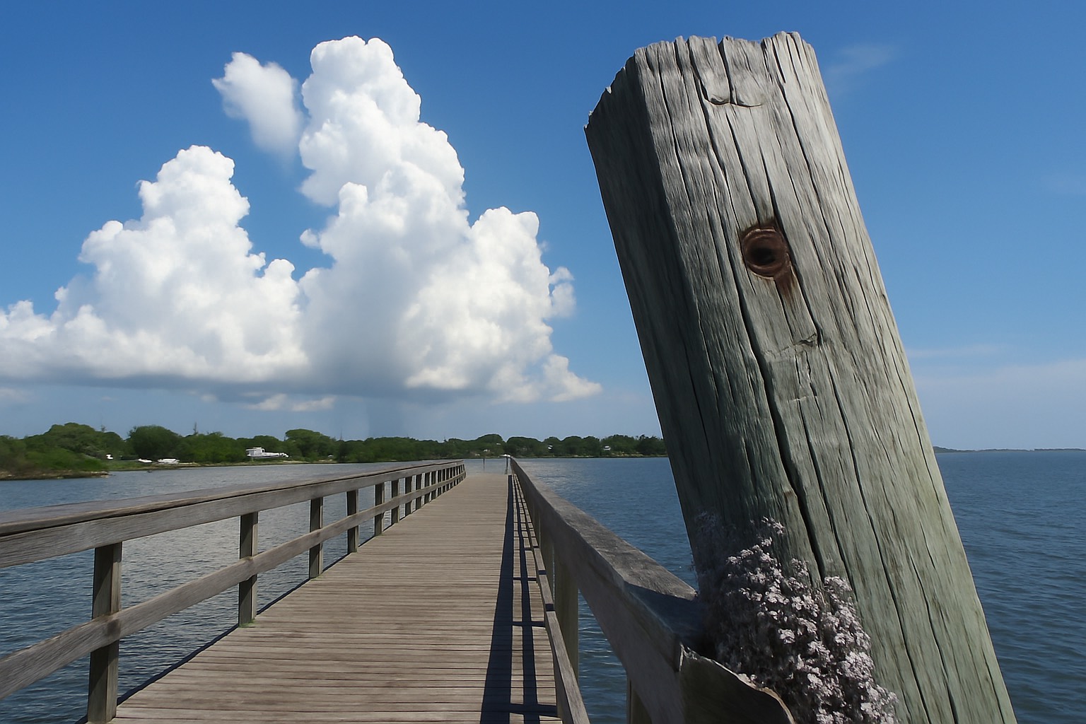
Boat Ownership on Merritt Island: Docks, Lifts, Depth and Permits
Boat Ownership on Merritt Island: Docks, Lifts, Depth and Permits
A dock in the listing photo answers none of the questions that decide whether you can keep a boat behind that house. Here is the technical version, in the order I check it.
Merritt Island sells one thing better than anywhere else in Brevard County: a boat tied up behind your own house. That is the whole pitch, and for a lot of buyers it is enough. But the photograph of the dock at sunset answers none of the questions that decide whether your boat can live there. How much water sits under that dock during a hard blow in February? Can you turn the boat around at the head of the canal? How many fixed bridges stand between the dock and the Atlantic, and what is the charted clearance under the lowest one? Who owns the seawall, and did anyone pull a permit for the lift? Those mechanics are the purchase.
Buyers fall for a canal lot fast, and then spend a long time fixing what nobody looked at. None of it was hidden. All of it was checkable inside the inspection period, at desks that publish their records for free. What follows is the order I work through, from the water back toward the house, with the agency that answers each question named beside it. If the island itself is still new to you, start with the Merritt Island real estate guide and come back when you have a specific canal in mind.
What canal-front really has to answer
Start with the geography, because it sets every constraint that follows. Merritt Island is a long strip of land held between two bodies of water: the Indian River Lagoon to the west and the Banana River on the east. Sykes Creek runs north to south through the middle of the island and opens into Newfound Harbor on the Banana River side, just south of the Barge Canal. Further south, at Dragon Point, the island runs out and the Banana River rejoins the Indian River. Cutting across all of it, east to west, is the Canaveral Barge Canal, the man-made channel that connects the Indian River side to the Banana River side and carries on toward Port Canaveral.
Almost every canal-front house on the island is a finger off one of those four systems, and which one you are on changes every answer below. A dredged dead-end canal off Sykes Creek is a different boating proposition from open frontage on the Banana River. The dock looks identical in the photograph. The boat does not care about the photograph.
Before I schedule a showing on a waterfront listing, I pull the parcel record at the Brevard County Property Appraiser. The card is free and public, and it gives me the year built, the legal description and plat reference, the sales history, and — the part most buyers skip — whether a dock, lift or seawall appears as an extra feature on the property record. A dock standing on the ground but absent from the parcel card proves nothing on its own. It tells me where to start digging.
The six questions a canal lot has to answer
1. How much water sits under the dock at low water, not on the day you toured. 2. How wide is the canal, and where do you turn the boat around. 3. How many fixed bridges sit between you and open water, and what is the charted clearance under each. 4. Who owns the seawall, and what is it doing below the waterline. 5. Were the dock, lift and seawall permitted and closed out. 6. Which policy, if any, covers them. Answer all six before the inspection period ends.
You can see what is for sale across the island in the Merritt Island listings and how the waterfront segment has moved in the Merritt Island market snapshot. The market view is the wrong tool for this job, though. Canal-front value here is set parcel by parcel, and two houses on one street can offer completely different boating.
Depth, width and getting out to open water
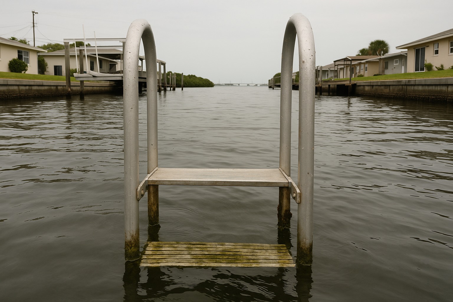
Draft first. Whatever boat you own or intend to own has a number, and that number has to fit under the hull on the worst week of the year. This is where Merritt Island buyers get caught, because the Indian River Lagoon system is shallow by nature and its water level is not governed the way an ocean tide is. In a lagoon this broad, a sustained wind can push water out of a basin and hold it out for days. Ask the seller which wind takes their water away and how low it gets, then check the answer against the nearest gauge published by NOAA's Tides and Currents network.
Sound the bottom before you write the offer, or as an inspection-period condition. With the seller's written permission, run a lead line or a handheld sounder from the dock out to the mouth of the canal, taking readings every few boat lengths and writing them down with the date and the wind. Shallow water rarely announces itself at the dock. It announces itself two hundred feet out, at the bar where the canal meets the creek.
Width is the second measurement, and nobody takes it. A dead-end finger canal has to be wide enough to turn your boat, or you are backing the length of it every time you come home in a crosswind. Measure between seawalls at the narrowest point, measure the boat, and account for the neighbors' boats too.
Then trace the route to open water on a chart. From most Merritt Island canals the path to the Atlantic runs through the Canaveral Barge Canal and east toward Port Canaveral, and the last gate is the Canaveral Lock, a navigation structure operated by the U.S. Army Corps of Engineers Jacksonville District. Locks close for maintenance and for security. Before you assume ocean access is a daily given, read the Corps' current notices to mariners for that structure. Every fixed bridge on your route has a charted vertical clearance, and the authority for that number is the nautical chart itself — pull the current chart for the Banana River, Sykes Creek and the Barge Canal from NOAA's Office of Coast Survey and read the clearance under the lowest bridge between your dock and the inlet. If you own a sailboat, that single figure may decide the entire search.
Two more constraints belong on the same chart. Large parts of the northern Banana River sit inside the Merritt Island National Wildlife Refuge and the security footprint around Kennedy Space Center, and access there is restricted — verify current boundaries with the U.S. Fish and Wildlife Service before planning to run north. Brevard County waters also carry manatee protection speed zones, adopted under the county's Manatee Protection Plan and enforced through the Florida Fish and Wildlife Conservation Commission. Idle-speed zones do not shorten the trip in miles. They lengthen it in minutes, and that changes what a Saturday on the water looks like.
That deserves plain language. A residential canal is not a public waterway the county dredges on a cycle. Maintenance dredging is regulated work, generally requiring authorization through the St. Johns River Water Management District or the Florida Department of Environmental Protection plus federal authorization from the Corps, and the cost falls on whoever holds the obligation. Sometimes that is an association. Sometimes it falls on the individual owners. On plenty of streets, nobody has ever asked. Find out which one you are buying into, starting with Brevard County Natural Resources Management.
Seawalls: condition, ownership and cost
The seawall is the most expensive structure on a canal lot and the one your standard home inspection walks past. Two questions matter, in this order: who owns it, and what is it doing below the waterline.
Ownership is answered on paper. Get a current boundary survey and read it against the plat and the deed recorded with the Brevard County Clerk of Courts. On some Merritt Island subdivisions the wall sits squarely inside the private parcel. On others it stands in a strip owned by the county, a drainage district or an association, or straddles the line with a shared maintenance obligation written into the plat. Those are three different financial futures, and no walk-through distinguishes between them.
Condition is answered on site, mostly by things that are easy to see once you know to look. Walk the cap and look for cracking, rust staining bleeding out of the concrete, and spalling where the reinforcement inside has corroded in salt air. Sight down the wall from one end: panels rotated forward out of alignment are telling you the wall is being pushed. Then turn around and look at the yard. Depressions, soft spots or small sinkholes behind the wall usually mean soil is migrating out through failed joints or weep holes that lost their filter fabric. That soil is the wall's backing.
What you cannot see is the tie-back system, the anchors buried in the yard holding the top of the wall against the load behind it. They corrode out of sight, which is why a wall that looks acceptable from the dock can be near the end of its service life. That is inspection work for a marine contractor.
On cost I will not quote a figure and neither should anyone else, because seawall pricing turns on length, height, panel type, equipment access and whether the old wall comes out or a new one goes in front of it. Get two written bids from licensed Florida marine contractors inside the inspection period and verify each license first. Replacement is permitted work in its own right, generally involving the county building department, an environmental resource permit through the Water Management District or Florida DEP, and federal authorization where the work touches navigable water. A living shoreline may be permittable on some sites; DEP publishes the guidance.
Docks and lifts: the permits behind them
Building a dock or lift on Merritt Island can involve four separate desks, and a buyer who assumes one permit covers all of it is in for a slow year.
| Who | What they govern | What to ask for |
|---|---|---|
| Brevard County | Building permit, zoning setbacks from the property lines extended into the water, and boat-facility siting under the county's Manatee Protection Plan. | The permit history for the address, and confirmation every permit was closed out. |
| St. Johns River Water Management District / Florida DEP | Environmental resource permitting for work in or over surface waters and wetlands, including docks, seawalls and dredging. | Whether the structure was permitted or built under an exemption, and the exemption's conditions. |
| Florida DEP, Division of State Lands | Authorization to use sovereignty submerged land — the state-owned bottom beneath navigable waters — where the structure sits over it. | Whether your canal bottom is sovereignty submerged land or privately held, and what form of consent or lease is on file. |
| U.S. Army Corps of Engineers | Federal authorization for structures and fill in navigable waters of the United States. | Whether it was authorized under a nationwide or regional general permit, and whether conditions still apply. |
Agency roles summarized from the published jurisdictions of Brevard County, the St. Johns River Water Management District, the Florida Department of Environmental Protection and the U.S. Army Corps of Engineers, August 2026. Which apply depends on the waterbody and the structure — confirm current requirements for your parcel with each agency.
The submerged-land question is the one that surprises people. In Florida the state generally holds title to the land beneath navigable waters, and a private structure over that bottom needs state authorization. But many of Merritt Island's finger canals were dredged out of upland when the subdivisions were platted, and where that is the case the canal bottom may be privately owned rather than sovereign. The answer lives in the deed, the plat and the state's land records. Ask the title company to address it, and do not accept a shrug.
For the lift itself, three checks. Match the rated capacity against the boat's fully loaded weight, fuel, water, gear and engines included, and read the rating off the manufacturer's plate rather than a listing description. Look hard at the pilings, cables, bunks and motor housings, since salt air eats all four. And treat dock power as a specialist item: electrical service at a residential dock falls under the National Electrical Code's requirements for docking facilities, including ground-fault protection, because faulty dock wiring in the water is a drowning hazard. Licensed marine electrician, county inspection, every time.
Brianna's take on existing structures
The most useful hour you will spend on a canal-front purchase is the one where you request the full permit history for the address from Brevard County and read it against what is physically standing on the property. A dock, lift or seawall built without a permit, or under a permit nobody closed out, does not stay the seller's problem after closing. It becomes yours, along with whatever the county requires to bring it into compliance. I ask for that history on every waterfront listing, and it has changed the offer more than once.
Insurance and the structures over water
Here is the part that catches experienced homeowners: the policies you are already buying may not cover the water side of the property at all.
A standard Florida homeowners policy insures the dwelling and, under a separate coverage part, other structures on the premises. Docks, piers, boathouses, seawalls and structures built over water are frequently excluded outright, or sub-limited to an amount that will not rebuild anything. Read the exclusion language on the policy form rather than the summary page, then ask the carrier in writing what endorsement or separate policy would cover them.
Flood is its own separate conversation and the answer there is cleaner. A federal flood policy written through the National Flood Insurance Program insures the building and its contents. It does not extend to docks, piers, seawalls, bulkheads or decks located outside the walls of the insured structure. So the flood policy you are required to carry on a low-lying waterfront house, and the storm that takes out your dock, are two things that never meet. I go through the whole waterfront insurance stack for this island in the Merritt Island waterfront insurance and flood cost guide, and the zone question itself in how Space Coast flood zones work.
The boat is a third policy, written on marine forms, and it does not ride along on the homeowners policy. Nor does a vessel sitting on a lift automatically enjoy the coverage it has underway. Ask how the marine policy treats a boat on a lift during a named storm and what the haul-out or storm-plan obligation is, because many marine policies attach conditions to hurricane season and pay differently when those conditions were not met.
Then the maintenance side. Salt water, sun and storm season work on everything over water continuously, on the schedule I lay out in the Space Coast maintenance and storm-prep guide. Budget the dock and lift as ongoing ownership cost the way you budget a roof, the frame I use region-wide in the true cost of owning a home here.
The marine and seawall checks I add to the inspection
A standard home inspection stops at the back door and, on a generous day, at the seawall cap. On a canal-front purchase I add a second layer and schedule it the day the contract is executed, because several of these take a week to book.
- A marine structures inspection. A licensed marine contractor on the seawall, the dock and the lift, looking at the cap, the panels, the joints, the weep holes, the tie-backs, the pilings and the lift's mechanical and electrical condition. Ask for it in writing, with photographs.
- A depth and bottom check. Soundings from the dock out to the canal mouth, recorded with the date and the wind, plus a look at what the bottom is made of. Soft mud and hard bottom behave differently under a piling.
- A current boundary survey. It shows where the seawall and dock sit relative to the property line, whether anything encroaches, and where the riparian setback lines fall. Read it against the plat.
- The permit file. Full permit history from Brevard County for the address, checked against every structure standing on the lot, with special attention to whether each permit was finalled.
- The flood file. The FEMA flood zone and base flood elevation for the parcel from the FEMA Flood Map Service Center, plus any existing elevation certificate the seller holds.
- The vessel, if it conveys. If a boat is included in the sale, that is an accredited marine surveyor doing a separate hull, engine and rigging survey. A dock inspector and a vessel surveyor are two different professions.
Want to watch the system work before you commit? The public ramp at Kiwanis Island Park on Sykes Creek is an easy place to stand on a weekend and see how boats move through it. Then drive the bridges, because the land side matters too — I cover that in the Merritt Island causeway commute guide. Still weighing the island against the barrier island across the Banana River? Cocoa Beach versus Merritt Island sets the two side by side, and the Cape Canaveral condo document guide covers what changes when the slip belongs to an association.
Frequently asked questions
How do I find out how deep the water is at a Merritt Island canal home?
Measure it yourself rather than relying on the listing. With the seller's written permission, take soundings with a lead line or a handheld depth sounder from the dock out to the mouth of the canal, recording readings every few boat lengths along with the date and the wind, and repeat during a period of low water. The Indian River Lagoon system is shallow and its water level responds strongly to sustained wind, so a reading on a calm high day tells you little. Ask the seller which wind takes their water away and check it against the nearest NOAA Tides and Currents gauge.
Do I need a permit to build a dock or boat lift on Merritt Island?
Almost certainly, and possibly from more than one agency. A residential dock or lift can involve a Brevard County building permit with zoning setbacks and boat-facility siting review under the county's Manatee Protection Plan, an environmental resource permit through the St. Johns River Water Management District or the Florida Department of Environmental Protection, authorization from Florida DEP's Division of State Lands where the structure sits over sovereignty submerged land, and federal authorization from the U.S. Army Corps of Engineers in navigable waters. Which apply depends on the waterbody and the structure, so confirm current requirements for your parcel with each agency before you design anything.
Who owns and maintains the seawall on a Merritt Island canal lot?
It depends on the subdivision, and the answer is on paper. Get a current boundary survey and read it against the plat and the deed recorded with the Brevard County Clerk of Courts. On some lots the seawall sits entirely inside the private parcel and is wholly the owner's responsibility. On others it stands in a strip owned by the county, a drainage district or an association, or straddles the property line with a shared maintenance obligation written into the plat. Those are very different obligations, and a walk-through will not distinguish between them.
Can I reach the Atlantic Ocean from a Merritt Island canal?
From most Merritt Island canals the route to the Atlantic runs through the Canaveral Barge Canal toward Port Canaveral, with the Canaveral Lock, operated by the U.S. Army Corps of Engineers Jacksonville District, as the last gate before the inlet. Two things decide whether your boat makes the trip: the charted vertical clearance under the lowest fixed bridge on the route, which you read from the current NOAA nautical chart, and lock availability, since locks close for maintenance and for security. Check the Corps' notices to mariners before treating ocean access as a daily given.
Does homeowners or flood insurance cover a dock, lift or seawall?
Often not, and this is the gap that surprises waterfront buyers. A standard Florida homeowners policy insures the dwelling and, under a separate coverage part, other structures on the premises, but docks, piers, boathouses, seawalls and structures over water are frequently excluded or sub-limited to an amount that would not rebuild them. A federal flood policy through the National Flood Insurance Program insures the building and its contents and does not extend to docks, piers, seawalls, bulkheads or decks outside the walls of the insured structure. Read the policy form and ask your carrier in writing what would cover the water-side structures.
What is sovereignty submerged land, and does it apply to my canal?
In Florida the state generally holds title to the land beneath navigable waters, and a private structure over that bottom needs authorization from the state through Florida DEP's Division of State Lands. Many of Merritt Island's finger canals, though, were dredged out of upland when the subdivisions were platted, and where that is so the canal bottom may be privately owned rather than sovereign. The answer lives in the deed, the plat and the state's land records, and it decides whether your dock permit runs through the Division of State Lands at all. Ask your title company to address it directly.
How do I check whether an existing dock, lift or seawall was permitted?
Request the full permit history for the address from Brevard County and read it against what is physically standing on the property, paying attention to whether each permit was inspected and closed out rather than left open. Cross-check the parcel record at the Brevard County Property Appraiser to see whether a dock, lift or seawall appears as an extra feature. A structure built without a permit, or under one nobody ever finalled, does not remain the seller's problem after closing. It becomes the buyer's, along with whatever the county requires to bring it into compliance.
What should I have inspected before buying a canal-front home on Merritt Island?
Add a second layer on top of the standard home inspection and schedule it the day the contract is executed, because several items take a week to book. Order a marine structures inspection by a licensed marine contractor covering the seawall cap, panels, joints, weep holes and tie-backs plus the dock pilings and the lift's mechanical and electrical condition. Take depth soundings from the dock to the canal mouth. Get a current boundary survey. Pull the county permit file, and pull the FEMA flood zone and base flood elevation for the parcel plus any existing elevation certificate. If a boat conveys with the house, hire an accredited marine surveyor separately.
Keep reading
Looking at a canal-front house on Merritt Island?
Send me the address before you tour it. I will pull the parcel card, the permit history and the flood zone, and we will walk the seawall and the dock with the six questions in hand instead of the sunset photograph. I have served Space Coast clients since 2015, and I would rather tell you early what is wrong with a lot.
Data last verified: August 2026. Permitting, submerged-land, navigation and insurance points summarized from the published materials of Brevard County, the Brevard County Property Appraiser, the St. Johns River Water Management District, the Florida Department of Environmental Protection, the U.S. Army Corps of Engineers Jacksonville District, the U.S. Fish and Wildlife Service, the Florida Fish and Wildlife Conservation Commission, NOAA's Office of Coast Survey and Tides and Currents, the FEMA Flood Map Service Center and the National Flood Insurance Program, as of August 2026. Jurisdictions, permit thresholds, protection zones, charted clearances and policy forms change — confirm current specifics for your parcel with each agency, a licensed Florida marine contractor, a licensed insurance agent and a Florida real estate attorney.
Categories
- All Blogs (48)
- Cost of Living (3)
- Cost of Ownership (25)
- Decision Guide (9)
- Living in Cape Canaveral (8)
- Living in Cocoa Beach (5)
- Living in Melbourne (4)
- Living in Melbourne Beach (5)
- Living in Palm Bay (4)
- Living in Rockledge (3)
- Living in Satellite Beach (6)
- Living in Titusville (6)
- Living in Viera (4)
- Living on Merritt Island (4)
- When Buying (4)
- When Relocating (7)
Recent Posts