Insurance & Flood Costs for Merritt Island Waterfront Homes
Insurance & Flood Costs for Merritt Island Waterfront Homes
On a Merritt Island canal, the price tag is only the deposit on the real cost — flood and wind are two separate bills, and the dock and seawall keeping your waterfront usable are a third you carry whether the market notices or not.
Here's the part that surprises people who fall for a Merritt Island canal home before they price it: the carrying cost of waterfront is the mortgage plus a flood policy you buy separately, plus a wind premium that prices the open-water exposure, plus the ongoing upkeep on the dock and seawall that make the water part of the property worth anything. Stack those and the monthly number can look very different from the listing. None of it makes the island a bad buy — it makes it a buy you should price in full, before you waive a contingency.
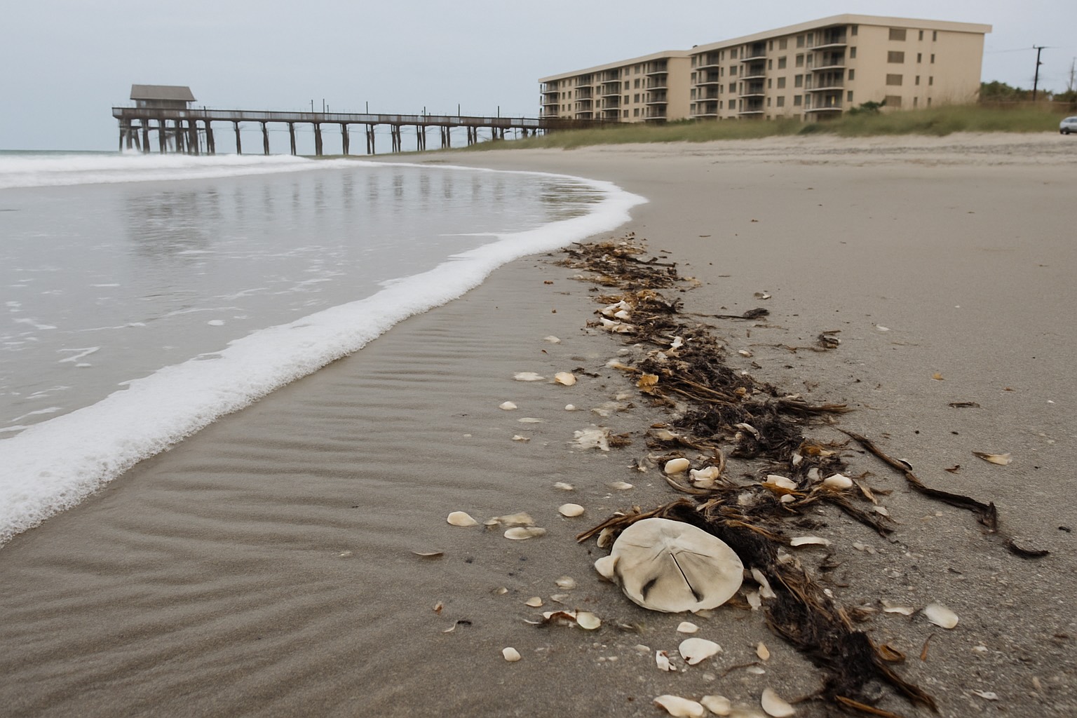
First, a fact that changes the whole conversation and that I want every buyer to have straight: Merritt Island is not oceanfront. It sits between the Indian River Lagoon on the west and the Banana River on the east, with the barrier island of Cocoa Beach and Cape Canaveral standing between the island and the Atlantic. So the water at the end of most Merritt Island streets is lagoon and river and canal. That matters for cost, because the flood and wind risk here is a lagoon-and-canal story, and it prices differently from a beachfront one.
The geography, because it drives the bill
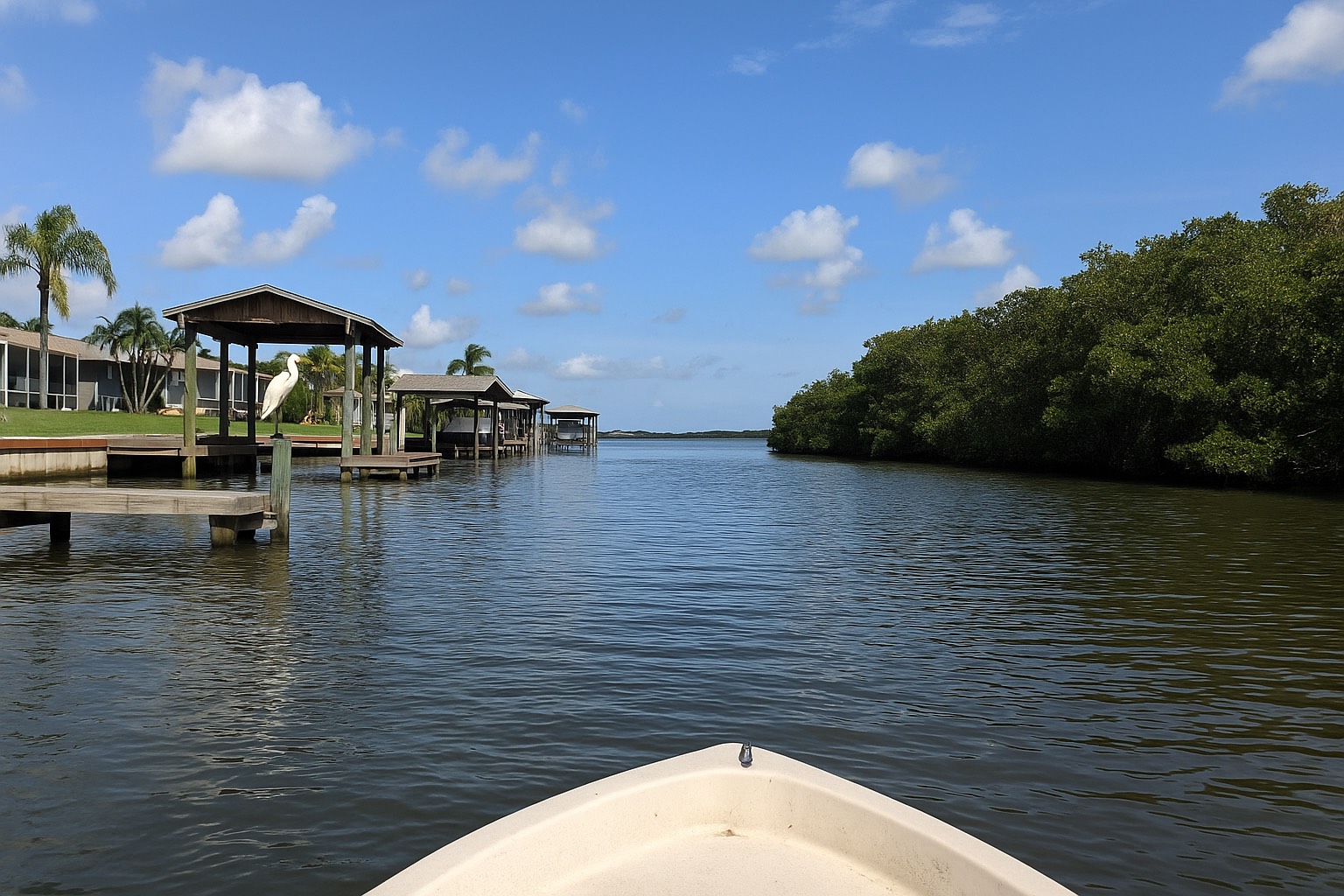
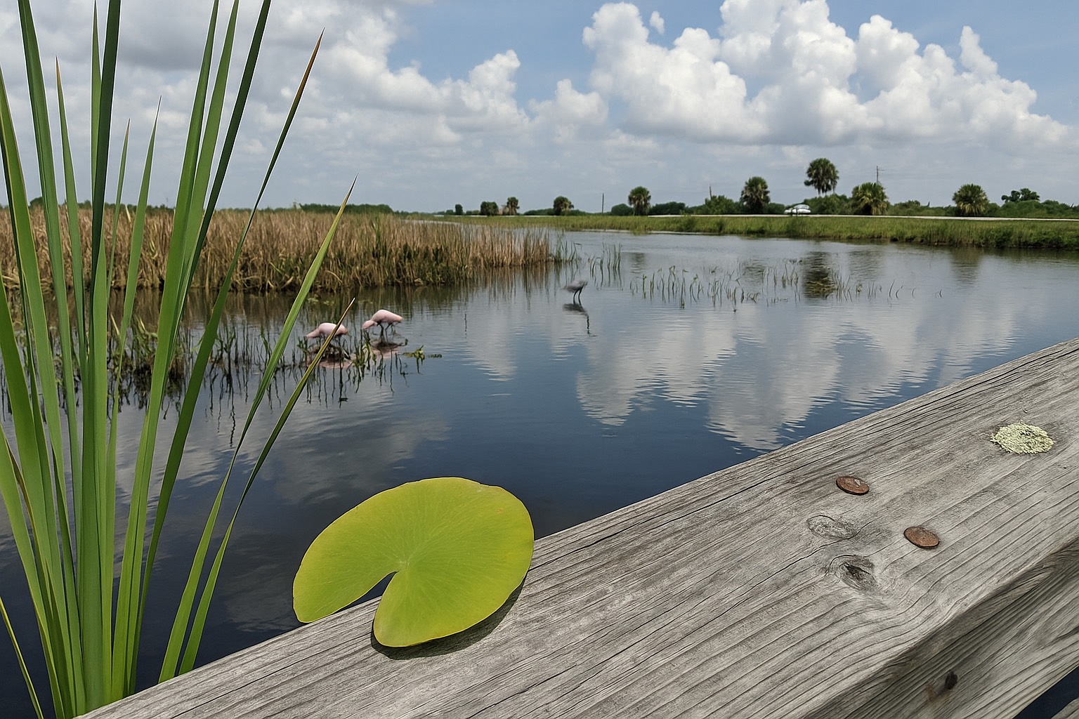
Merritt Island is a river-and-lagoon island, separated from the Atlantic Ocean by the Banana River and the barrier island beyond it. Its waterfront is canals, the Indian River Lagoon, and the Banana River — calm, navigable water. That lowers some risk relative to the beach, but the canal edges and low-lying lots still carry real flood exposure, which is why so many of them sit in a FEMA high-risk zone.
The three costs that ride along with the water
When you buy a waterfront home anywhere on the Space Coast, you take on three carrying costs that an inland buyer simply doesn't. On Merritt Island specifically, they look like this:
- Flood insurance — a separate policy from your homeowners coverage, priced largely off the property's FEMA flood zone and elevation. Canal-front and lagoon-edge lots on the island are frequently mapped into a high-risk zone where a flood policy is effectively mandatory with a mortgage.
- Wind / hurricane coverage — usually inside the homeowners policy but with its own hurricane deductible, and priced for the island's open-water wind exposure. You're not beachfront, but you're surrounded by water on a flat island, and the rate reflects that.
- The dock and seawall — the part the spreadsheet forgets. A canal home's seawall, dock, lift, and pilings are exposed to brackish water and storm energy year-round, and keeping them sound is an ongoing cost of owning the waterfront.
Flood: a separate policy, and the FEMA map sets the terms
Flood damage — rising water, storm surge pushed up the lagoon, a canal that tops its bank — is excluded from every standard homeowners policy in Florida. You insure it separately, through the federal National Flood Insurance Program (NFIP / FloodSmart) or a private flood insurer. Whether a lender requires that policy — and broadly how it's priced — turns on the property's FEMA flood zone and its elevation.
On Merritt Island, the canal and lagoon edges commonly fall in an AE zone — a high-risk area with a published Base Flood Elevation — which generally triggers a required flood policy on a federally backed mortgage. The true beachfront "V" zones with wave action sit on the barrier island across the water; Merritt Island's risk is the quieter but very real lagoon-and-canal kind. Two homes a few streets apart can land in different zones, so you never assume — you look it up.
You can pull any property's flood zone yourself at the FEMA Flood Map Service Center, and the NFIP explains how zones, elevation, and pricing fit together at FloodSmart.gov. I break the zones down — AE, VE, X, and what Base Flood Elevation means — in the companion Space Coast flood zones explained guide.
Why elevation is the lever on a canal lot
In a high-risk zone, how high the lowest floor sits relative to the Base Flood Elevation is a major driver of flood pricing. An elevation certificate documents that height and can change how a property is rated. On Merritt Island's flat, low canal lots, two similar homes can be rated very differently because one sits higher than the other. Ask whether an elevation certificate exists before you assume the cost.
Wind: the middle ground between beachfront and inland
Wind is usually covered inside the homeowners policy, but with a separate hurricane deductible — a percentage of the home's dwelling coverage (Coverage A) rather than a flat figure, commonly offered at 2%, 5%, or 10% under Florida rules. Because it's a percentage, the out-of-pocket before coverage starts can be a large number on a higher-value waterfront home, so it's worth knowing your exact percentage before hurricane season starts.
Merritt Island's wind cost sits in a sensible middle. You carry less wind exposure than the barrier island's beachfront, and you are still on a flat island ringed by open lagoon, so wind premiums here generally run above equivalent inland Brevard homes and below true oceanfront. Building age, roof type and shape, and distance from the water all feed the rate. When the private market won't write or affordably price a waterfront home, owners may turn to Citizens Property Insurance, the state-created insurer of last resort. The Florida Office of Insurance Regulation (FLOIR) is the authoritative source for which carriers are writing policies in your area and how the market is moving.
The good news is that wind is also the cost you can actively lower. A wind-mitigation inspection documents storm-resistant features — roof shape and covering, roof-to-wall connections like clips and straps, roof deck attachment, and impact-rated or shuttered openings — and insurers are required to give premium credits for verified features. The same upgrades that lower your premium also protect the home, which I cover in the coastal home maintenance and storm-prep guide.
The dock and seawall: the cost the listing leaves off
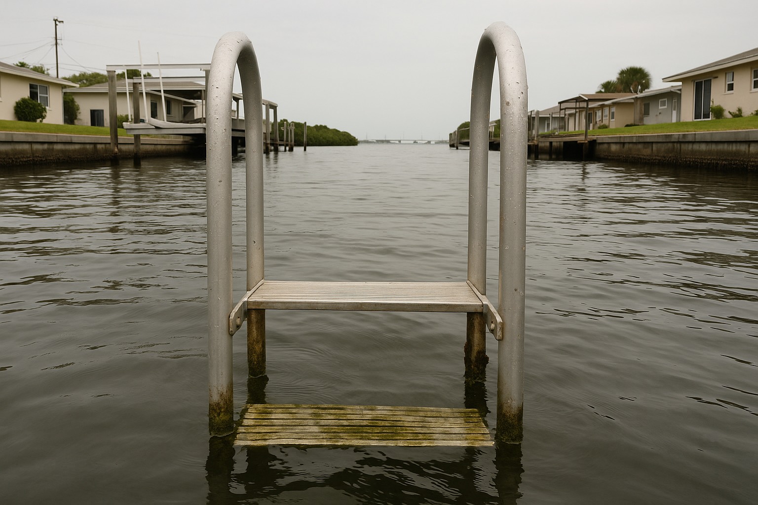
This is the line item that separates waterfront ownership from the rest, and it rarely makes it into the math a buyer does at the open house. A Merritt Island canal home's value lives partly in its access to the water — the seawall holding the lot, the dock, the boat lift, the pilings. All of it sits in brackish water and weather year-round, and all of it has a service life. Keeping it sound is an ongoing carrying cost of the waterfront, the same way a roof is for the house.
Two practical points before you commit:
- Inspect the waterfront structures along with the house. A seawall near the end of its life or a dock that needs rebuilding is a real future expense — find out its condition during your inspection period, while you still have leverage.
- Most standard policies treat docks and seawalls differently from the dwelling. Coverage for exterior water structures is often limited or excluded under a homeowners policy and may not be covered by flood insurance either. Confirm in writing what each policy does and does not cover for your dock, lift, and seawall.
Maintenance for a Merritt Island canal home is its own budget line, and I walk through what waterfront owners plan for in the storm-prep and maintenance guide.
The full picture, side by side
| Cost | Where it lives | What drives it on Merritt Island |
|---|---|---|
| Flood (rising water, surge, canal overtopping) | A separate flood policy, bought on its own | FEMA flood zone (often AE on canal/lagoon lots) and the home's elevation |
| Wind / hurricane | Usually inside the homeowners policy, with its own hurricane deductible — sometimes Citizens | Open-water wind exposure on a flat island, roof and build, wind-mitigation features |
| Homeowners (fire, theft, liability, non-flood storm) | Standard homeowners (HO-3) policy | Value, build, claims history, location |
| Dock, seawall, lift, pilings | Often limited or excluded on both homeowners and flood — verify per policy | Condition and service life; year-round exposure to brackish water and storms |
Policy structures, zone designations, and coverage rules summarized from FEMA, FLOIR, Citizens, and the NFIP as of June 2026. Zone, elevation, availability, and rates are property-specific and change — confirm current specifics for your address with the FEMA Flood Map Service Center and a licensed Florida insurance agent.
How to check the real number for a specific Merritt Island home
Waterfront cost is set lot by lot on the canals — two canal homes on the same street can quote differently on flood, wind, and seawall condition alike. Here's the order I walk buyers through before they waive anything:
- Pull the flood zone first. Enter the address at the FEMA Flood Map Service Center to see whether the lot is in a high-risk zone (often AE here) and whether a flood policy will be required.
- Ask whether an elevation certificate exists. On a flat canal lot, elevation is a major flood-pricing lever — and the certificate may already be on file.
- Get real quotes early. Ask a licensed Florida agent for the homeowners quote (with the hurricane deductible spelled out), a flood quote, and clarity on how docks and seawalls are treated — before the inspection period closes.
- Order a wind-mitigation inspection. It can lower the wind premium and tells you which upgrades would lower it further.
- Inspect the seawall and dock. Treat the waterfront structures as their own inspection item, because their condition is a real cost you'll inherit.
- Check the carrier landscape. Use FLOIR and Citizens to understand who is writing policies in the area and whether Citizens is your likely market.
Pricing the waterfront before you fall for it
When we tour Merritt Island canal and lagoon homes together, I flag the full carrying cost on each one early — the likely flood zone, the wind market, the hurricane deductible, and the condition of the dock and seawall — so you have the real number in hand before you commit. That's waterfront buying with every cost on the table from the start. I've served Space Coast clients since 2015 and I'll give you the straight version.
Frequently asked questions
Is Merritt Island oceanfront, and does that change my insurance?
No, Merritt Island is not oceanfront. It is a river-and-lagoon island sitting between the Indian River Lagoon and the Banana River, separated from the Atlantic Ocean by the barrier island of Cocoa Beach and Cape Canaveral. Its waterfront is canals, the lagoon, and the river rather than open surf. That lowers some risk relative to the beach, but the low-lying canal and lagoon lots still carry real flood exposure and open-water wind exposure, so insurance is still a major carrying cost you should price in full.
Does my homeowners insurance cover flood on a Merritt Island canal home?
No. Every standard homeowners policy in Florida excludes flood, which means rising water, storm surge, and a canal overtopping its bank are not covered. You insure flood separately through the federal National Flood Insurance Program (NFIP) or a private flood insurer. Because canal and lagoon lots on Merritt Island frequently fall in a high-risk flood zone, a flood policy is often effectively required if you have a federally backed mortgage. Look up the property's zone at the FEMA Flood Map Service Center.
What flood zone are most Merritt Island waterfront homes in?
Many canal-front and lagoon-edge lots on Merritt Island fall in an AE zone, which is a high-risk area with a published Base Flood Elevation that generally triggers a required flood policy on a federally backed mortgage. The true beachfront V zones with wave action are on the barrier island across the water. Zones can differ from one street to the next, so never assume — confirm the specific property at the FEMA Flood Map Service Center.
How much does flood insurance cost for a Merritt Island waterfront home?
There is no single figure, because flood pricing is property-specific. It is driven largely by the FEMA flood zone and how high the lowest floor sits relative to the Base Flood Elevation, which is why elevation matters so much on flat canal lots. An elevation certificate documents that height and can change how a property is rated. Pull the zone at the FEMA Flood Map Service Center and ask a licensed Florida agent for a quote on the specific address before you waive any contingency.
Is wind insurance cheaper on Merritt Island than on the beach?
It generally sits in the middle. Merritt Island does not carry the full beachfront wind exposure of the barrier island, so wind premiums here typically run below true oceanfront homes. But it is a flat island ringed by open lagoon and river, so premiums generally run above equivalent inland Brevard homes. Building age, roof type and shape, and distance from the water all feed the rate, and the Florida Office of Insurance Regulation is the authoritative source for which carriers are writing in your area.
Are my dock and seawall covered by insurance?
Often only in a limited way, or not at all. Most standard homeowners policies treat docks, seawalls, lifts, and pilings differently from the dwelling, and coverage for these exterior water structures is frequently limited or excluded. Flood insurance may not cover them either. Because keeping a seawall and dock sound is an ongoing cost of owning the waterfront, you should inspect them as their own item and confirm in writing exactly what each policy does and does not cover for your specific property.
Can a wind-mitigation inspection lower my premium on Merritt Island?
Yes. A wind-mitigation inspection documents storm-resistant features such as roof shape and covering, roof-to-wall connections, roof deck attachment, and impact-rated openings. Insurers are required to give premium credits for verified mitigation features, so a clean report can meaningfully reduce the wind portion of your premium. If the report shows gaps, it tells you which upgrades would pay you back in savings. The same upgrades that lower the premium also protect the home in a storm.
What should I check before buying a Merritt Island waterfront home?
Start by pulling the property's flood zone at the FEMA Flood Map Service Center and asking whether an elevation certificate exists. Get real quotes early from a licensed Florida agent for both homeowners coverage with the hurricane deductible spelled out and a flood policy, and ask how the dock and seawall are treated. Order a wind-mitigation inspection, inspect the seawall and dock as their own item, and check the carrier landscape through FLOIR and Citizens. Do all of this during your inspection period, while you still have leverage.
Keep reading
Thinking about a Merritt Island canal home?
Before you fall for the water view, let's price the full carrying cost — flood zone, wind market, hurricane deductible, and the condition of the dock and seawall. I have served Space Coast clients since 2015 and I'll give you the straight version.
Data last verified: June 2026. Flood zones, Base Flood Elevation, and policy structures summarized from the FEMA Flood Map Service Center, the Florida Office of Insurance Regulation (FLOIR), Citizens Property Insurance Corporation, and the National Flood Insurance Program (NFIP / FloodSmart) as of June 2026. Zones, elevations, rates, requirements, and carrier participation are property-specific and change frequently — confirm current specifics for your address with the appropriate authority and a licensed Florida insurance agent.
Categories
- All Blogs (48)
- Cost of Living (3)
- Cost of Ownership (25)
- Decision Guide (9)
- Living in Cape Canaveral (8)
- Living in Cocoa Beach (5)
- Living in Melbourne (4)
- Living in Melbourne Beach (5)
- Living in Palm Bay (4)
- Living in Rockledge (3)
- Living in Satellite Beach (6)
- Living in Titusville (6)
- Living in Viera (4)
- Living on Merritt Island (4)
- When Buying (4)
- When Relocating (7)
Recent Posts