Cape Canaveral vs. Cocoa Beach: Same Ocean, Different Math
Cape Canaveral vs. Cocoa Beach: Same Ocean, Different Math
Two cities share one barrier island, one shoreline and one set of flood maps. What separates them is what sits at each end of town, and whose rulebook governs what you plan to do with the property.
Buyers ask me to describe the difference between Cape Canaveral and Cocoa Beach as though there were a seam in the sand you could feel underfoot. There is a line. It is a municipal boundary, drawn across a barrier island barely wide enough to hold two roads, and the sand on either side of it is the same sand. The Atlantic does not change temperature at the city limit. The Banana River laps both back yards. Flood maps, salt air, hurricane season and the Coastal Construction Control Line treat the two cities as one strip of sand with two names. What changes at that line is the rulebook, the housing stock, and what sits at each end of town, a working port and a Space Force station at one end, a pier and a downtown at the other.
That is why I never answer this question with adjectives. I answer it with the four things that decide what a buyer pays or saves: what the inventory is made of, what sits at each end of town, which municipal code governs your plans, and where the numbers are identical no matter which side you buy on. If you want the wider read on each city first, the Cape Canaveral real estate guide and the Cocoa Beach guide cover them one at a time. This piece puts them side by side.
One island, two cities, and a line most buyers cannot see
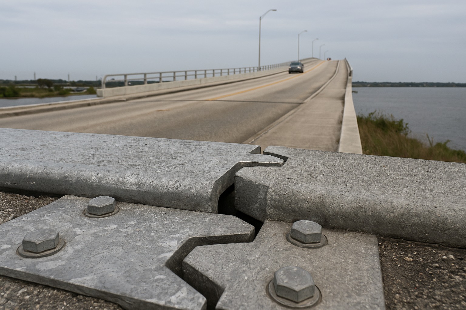
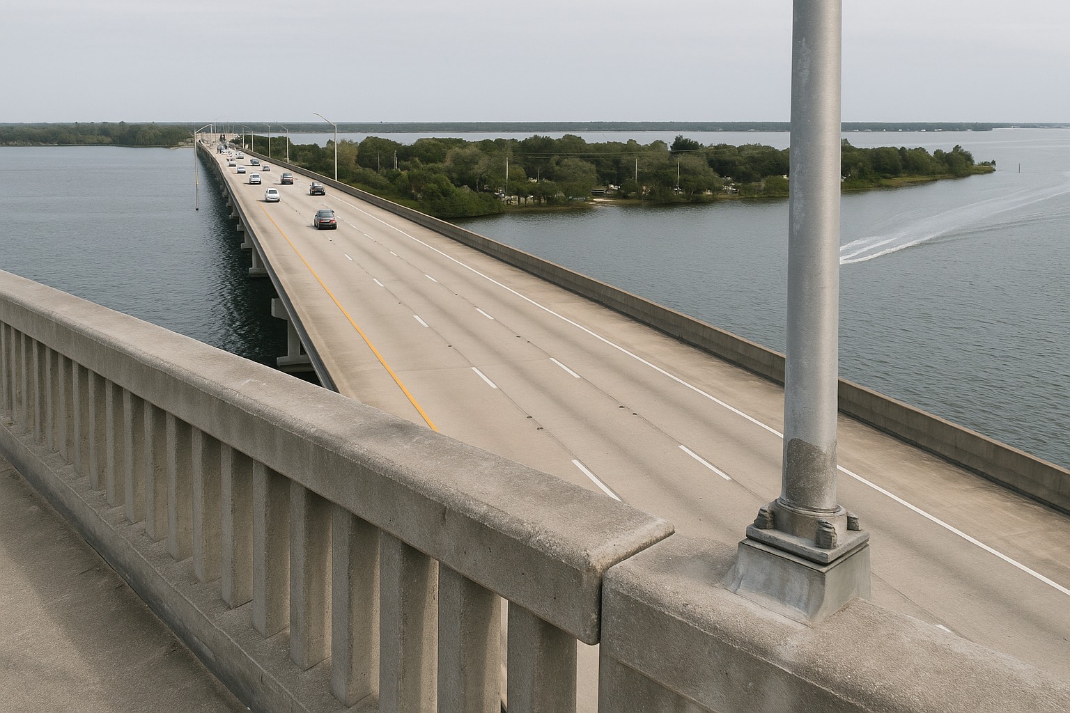
Start with the geography, because it explains most of the rest. The barrier island runs north to south with the Atlantic on the east and the Banana River on the west. State Road A1A is the spine. Through Cape Canaveral that spine is signed Astronaut Boulevard; a few minutes south it becomes Atlantic Avenue and you are in Cocoa Beach. Cape Canaveral occupies the northern end. Port Canaveral and Cape Canaveral Space Force Station close off everything above it. Cocoa Beach picks up at the southern city limit and runs down to the Patrick Space Force Base boundary, with the Cocoa Beach Causeway carrying State Road 520 west across the Banana River toward Merritt Island and the mainland.
Neither city can grow outward. The Atlantic sets one edge, the Banana River sets the other, and federal property caps the north. Every housing decision either city has made for sixty years was made inside that constraint, and the two answered it differently because they were building in different decades.
Cape Canaveral is the younger municipality. The city incorporated in 1963, as the Merritt Island launch complex was going up and Brevard County needed housing near it faster than it could plat subdivisions. The answer went vertical. Cocoa Beach was a town long before the rockets, and by the time they were flying it already had a street grid, a downtown, and a habit of building houses on it. Walk both cities and you read that difference in the roofline within a block.
The one-line version
Cape Canaveral is condo-dominant with a working port and a Space Force station as its northern neighbor. Cocoa Beach is a broader mix of houses and condos organized around a real downtown and the tourism that comes with it. The flood and wind exposure is effectively the same. The municipal rules are not.
What the north end is shaped by
Two institutions sit at the top of the island, and both of them show up in a purchase here. Port Canaveral, run by the Canaveral Port Authority, is a cruise homeport and a working cargo terminal at once. Above it is Cape Canaveral Space Force Station. Between them they set a third force on this city: a launch cadence, which is not scenery here. It is a schedule, with road closures, sound and light attached to it.
Take the port first. State Road 528 crosses the Banana River and lands there, so ship movements set the traffic pattern in Cape Canaveral. Beach weather barely enters into it. On a heavy turnaround day the flow along George King Boulevard and A1A is a different animal from a quiet Tuesday. That cuts both ways. The port is also why the city has an employment base with nothing to do with tourism, and why a stretch of restaurants and marina slips exists at the Cove at Port Canaveral. I go through the day-to-day version of that trade-off in the piece on living beside the cruise port.
Now the housing stock, which is the part that changes your offer. Drive North Atlantic Avenue and you pass block after block of low- and mid-rise buildings, oceanfront and riverfront, with townhome and villa associations filling in behind them. Single-family houses exist in Cape Canaveral. They are a minority of the inventory, so if that is what you want, set an alert and be ready to see one the week it lists. For everyone else, buying in Cape Canaveral means buying a condominium. You are underwriting a building, a budget, a reserve schedule and a board. The unit inspection is the small part.
Because a large share of these buildings went up during the decades the space program was hiring hardest, the age of the structure is the governing question. You can settle it for free before you ask anyone anything: pull the parcel card at the Brevard County Property Appraiser and read the year built, the building square footage and the sales history straight off the record. Year built tells you whether Florida's post-Surfside inspection and reserve rules land on that building at full force. I have written the whole reading list separately, in the six documents I read before writing a Cape Canaveral condo offer, and the statutory background sits in the Florida condo reserves and SB 4-D guide.
You do not get to opt out of the port. It is an industrial neighbor with cranes, lighting and ship traffic, and it is not going to move, shrink or quiet down to suit a residential buyer. Some people find that genuinely interesting and buy specifically for it. Others tour on a Sunday in February, hear nothing, and are surprised in November. Tour Cape Canaveral on a day with ships in port and a launch on the calendar, then decide.
What Cocoa Beach’s downtown adds, and what it costs
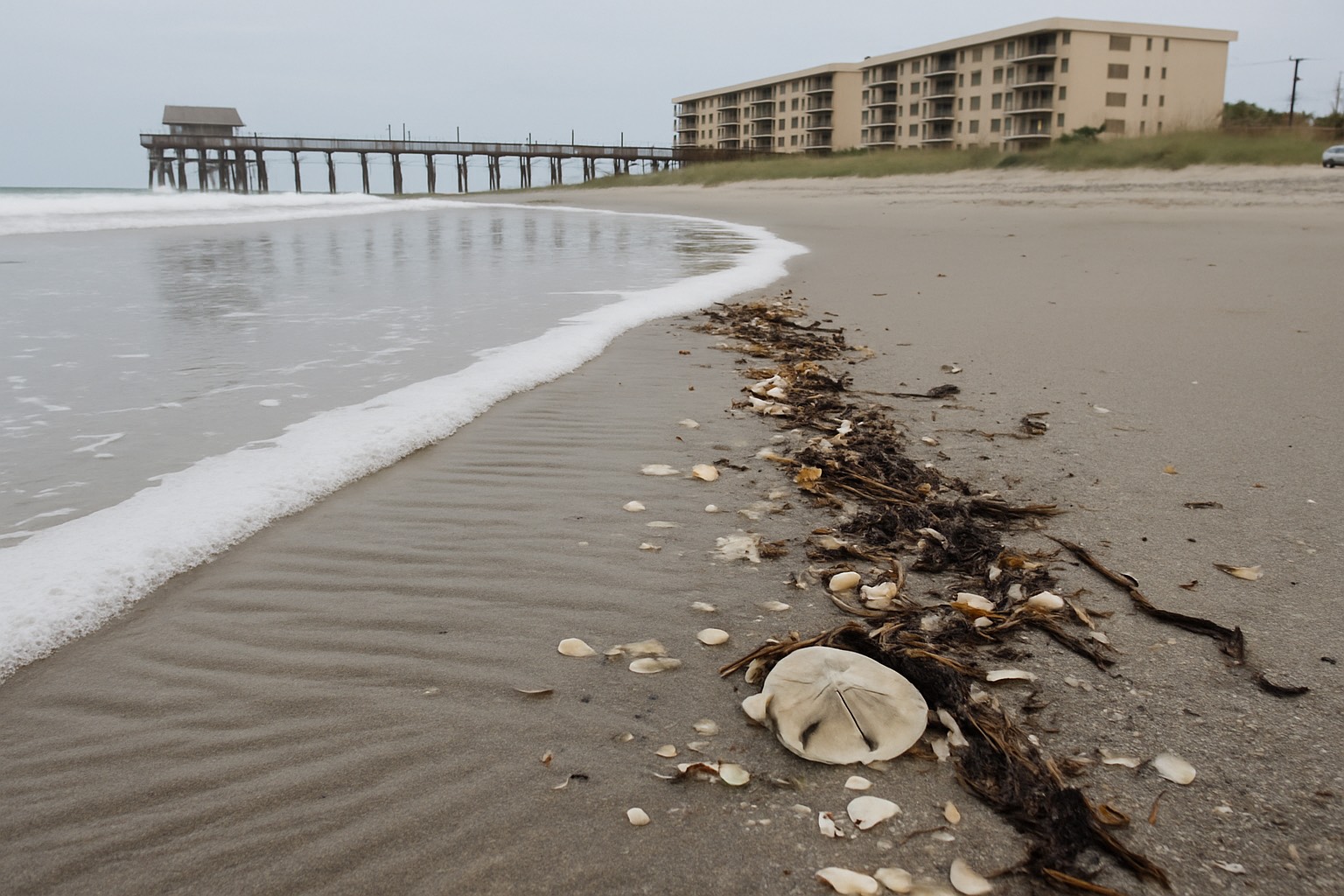
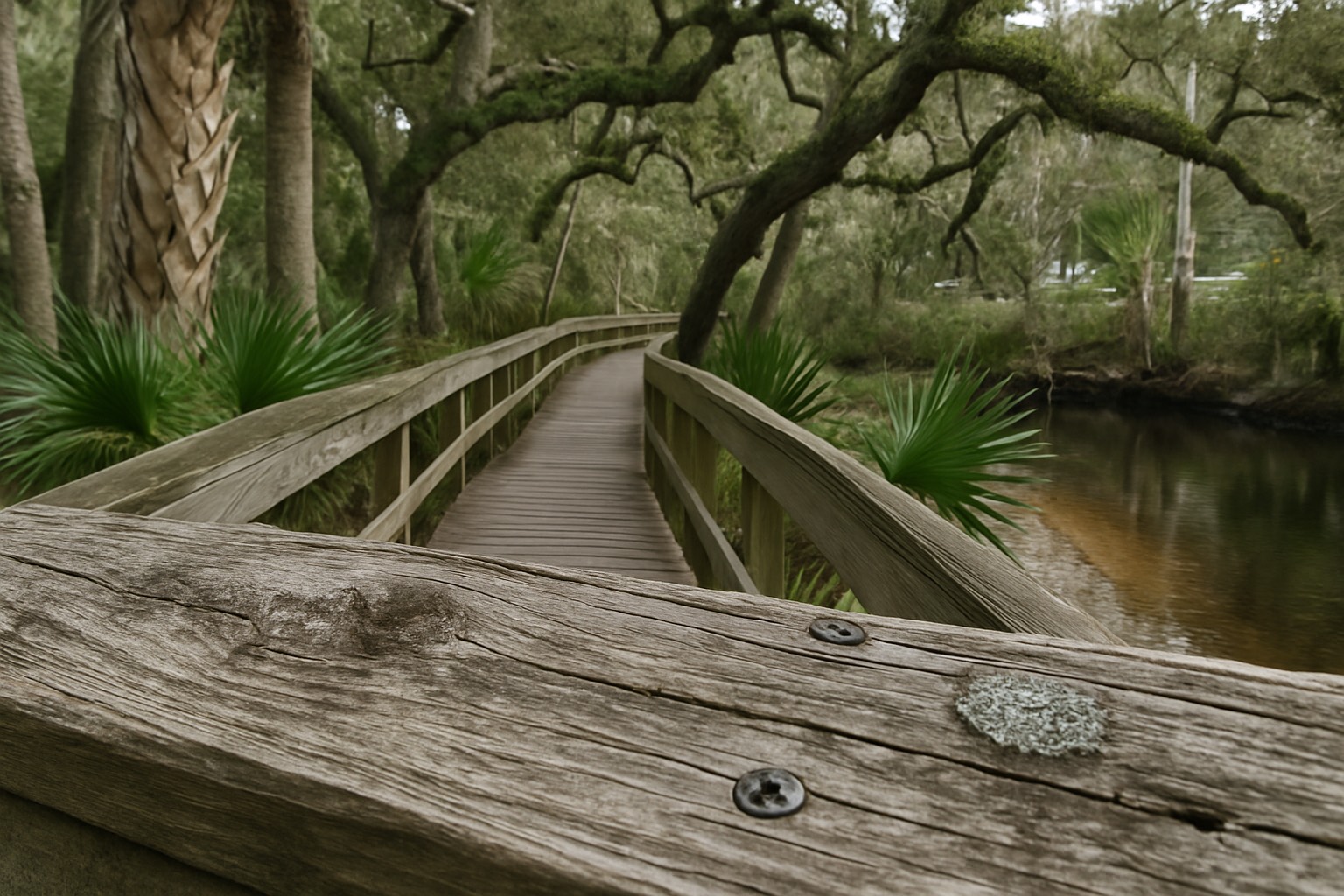
Cocoa Beach has something Cape Canaveral does not: a walkable centre. Minutemen Causeway runs from A1A west toward the Banana River and functions as the city's main street, with shopfronts, restaurants and civic buildings on a scale a person can cross on foot. The Cocoa Beach Pier anchors the north end of town. Lori Wilson Park, a Brevard County park with a maritime hammock boardwalk behind the dune, sits between them. On the river side, the Thousand Islands, a chain of mangrove islands inside the Banana River managed by the city, is a paddling network you can reach from a launch inside the city limits.
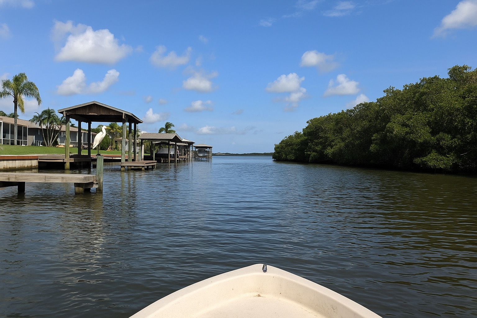
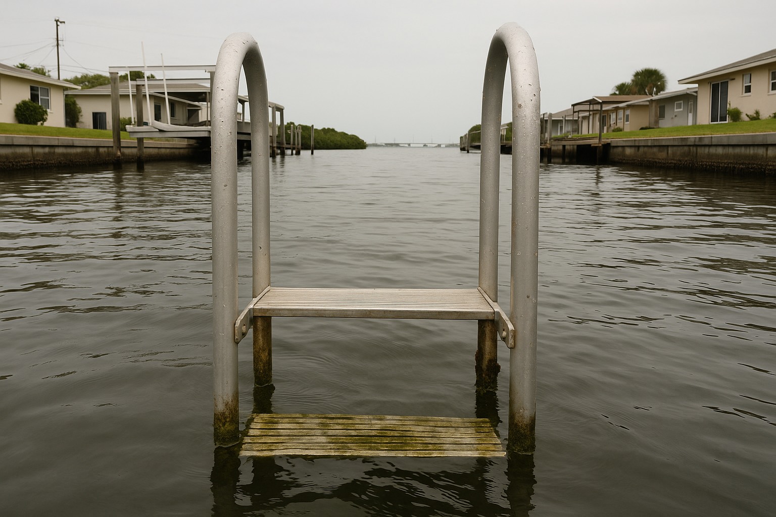
The housing mix follows the same logic. Because Cocoa Beach was platted as a town, whole neighborhoods of single-family houses sit behind the A1A frontage, including canal-front streets on the river side where a private dock comes with the address. Condominiums line the ocean, as they do in Cape Canaveral. The difference is a genuine choice between structure types at a range of distances from the water, which is why a buyer who wants a house with a yard on the barrier island usually looks here first. Browse the current split yourself in the Cocoa Beach listings and read the direction of travel in the Cocoa Beach market snapshot.
The downtown is also the cost. Cocoa Beach is the Space Coast's best-known beach town, and the traffic that comes over State Road 520 on a holiday weekend arrives at the same intersections you use to get home. Parking pressure near the pier and the public beach ends is a standing condition of living there. It does not arrive and leave with the season. The same visitor traffic is why more of the oceanfront stock here is set up for short stays. What that means for a specific building sits in the association's declaration, and the city's reputation will not tell you. None of that makes Cocoa Beach a poor purchase. It makes it a purchase you should visit on a busy Saturday before you commit, in the same way I would send you to Cape Canaveral on a port day.
| Cape Canaveral | Cocoa Beach | |
|---|---|---|
| Position on the island | North end, between Port Canaveral and the Cocoa Beach city line | South of Cape Canaveral, running down toward the Patrick Space Force Base boundary |
| Housing stock | Condominium-dominant; townhomes and villas behind the frontage; single-family a minority | Broader mix: oceanfront condominiums plus platted single-family neighborhoods, including canal-front streets |
| Main road | State Road A1A, signed Astronaut Boulevard | State Road A1A, signed Atlantic Avenue; State Road 520 causeway to the mainland |
| Northern or western neighbor | Port Canaveral and Cape Canaveral Space Force Station | Banana River, the Thousand Islands, and the 520 causeway traffic |
| Centre of town | No single walkable core; commercial frontage strung along A1A | Minutemen Causeway functions as a downtown main street |
| Governing municipality | City of Cape Canaveral | City of Cocoa Beach |
Structural and geographic comparison only, as of August 2026. Road designations from Florida DOT signage; port operations from the Canaveral Port Authority; municipal boundaries and city services from each city’s own site. No price, premium or market figure is implied by any row, confirm current inventory and pricing with a licensed agent and the Space Coast Association of REALTORS®.
Flood and wind: where the two cities are the same
This is the section that saves people money, because the assumption I most often have to dismantle is that one of these cities is somehow cheaper to insure than the other. On the barrier island, the parcel decides it, and the city line does not.
Both cities sit on a narrow, low strip of sand with the Atlantic on one side and a lagoon on the other. Much of that ground falls into FEMA's higher-risk zones, the A family inland of the beach and the coastal V family where wave action is expected, although the designation is always parcel-specific and sometimes changes across a single street. Confirm the zone and the Base Flood Elevation for any address at the FEMA Flood Map Service Center, which is the source of record. If the terminology is new to you, how to read a Space Coast flood zone walks through what each letter means.
Three consequences follow, and they follow identically in both cities:
- Flood is a separate policy. Rising water and storm surge are excluded from every homeowners and HO-6 policy in Florida. Coverage comes from the federal National Flood Insurance Program or a private flood carrier, and in a high-risk zone a federally backed mortgage generally requires it. The wind versus flood explainer takes the two apart.
- Wind exposure is a barrier-island number in both places. Insurers price proximity to open water and the height and construction of the structure. A north-end building and a south-end building of the same age and design are not in different worlds.
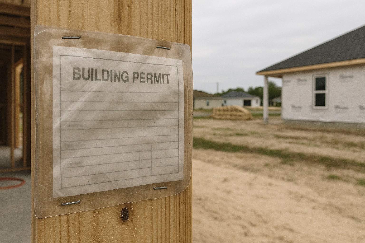
- The Coastal Construction Control Line runs through both. Florida DEP's Coastal Construction Control Line program regulates construction seaward of a surveyed line in each coastal county, and a parcel seaward of it needs a state permit for work that a parcel a block inland does not. That line ignores city limits entirely. I cover the permitting reality in what building seaward of the control line involves.
One thing that can differ is the FEMA Community Rating System. The CRS gives participating communities a class rating that translates into a discount on NFIP flood premiums for properties inside that community, and each city participates, or does not, on its own. Do not take anyone's word for a class. Look each city up in FEMA's own CRS communities listing, or ask your flood agent to quote both addresses and show you the CRS line on each quote, the discount, where it exists, appears on the policy. The mechanics are in the CRS discount guide. For condominium buyers, the full four-layer stack: master policy, HO-6, flood, and assessment risk, is laid out in the Cocoa Beach condo insurance breakdown, and every layer of it applies just as squarely in Cape Canaveral.
Where the city line decides something: and where it does not
Here is where the city line finally earns its keep, and where it earns nothing at all. Two municipalities on one island write their own codes, and the gaps between them decide what you may legally do with the property you just bought. On two of the questions buyers shop hardest, though, both cities answer to the same authority, and comparing them is wasted effort. Take the divergences first.
Short-term rentals. This is the biggest single divergence, and the reason sits in state law. Section 509.032(7)(b) of the Florida Statutes preempts local governments from regulating the duration or frequency of vacation rentals, but it grandfathers ordinances that were already on the books on or before 1 June 2011. Cities that had rental rules in place before that date kept them. Cities that did not are working with a narrower set of tools. That single date is why two neighboring beach cities can be governed differently on the same question, and why the answer is never "the beach allows it." Read the current code for the specific city and the specific zoning district, and confirm the state licensing side with the Florida Department of Business and Professional Regulation, which licenses transient public lodging. The Cocoa Beach side of this is covered in detail in the Cocoa Beach short-term rental rules. If rental income is part of your purchase model, verify it in writing before your inspection period closes, and check the association's own documents too, because a condominium declaration can be stricter than the city and frequently is.
Height. Cocoa Beach's building height limit lives in the city charter rather than in an ordinance, which matters more than the number itself: a charter provision changes only by referendum, and a council cannot amend it on a Tuesday night. Read the current charter on the City of Cocoa Beach's site to see the limit as it stands. Cape Canaveral regulates height through its land development code, and the City of Cape Canaveral also operates a Community Redevelopment Agency whose plan and boundary map shape what redevelopment along the A1A corridor is meant to look like. Both documents are published by the cities. Both are worth ten minutes if the view from a unit depends on the vacant lot in front of it staying vacant.
Parking and beach access. Public parking near the beach ends is a municipal decision, and the two cities handle fees, permits and enforcement differently. Jetty Park at the north tip runs under Canaveral Port Authority rules rather than a city's. Walk the nearest access point and read the signage before you buy.
The city millage line on your tax bill. Each city sets its own municipal rate, and that single row is where the choice between them lands on your bill. Pull the parcel at the Brevard County Property Appraiser and read the TRIM notice's taxing authorities one at a time, so the city millage stands on its own row rather than folded into a single total.
Now the two questions buyers spend the most time on, neither of which the city line touches. Stop shopping for them.
Schools. Both cities are served by Brevard Public Schools, and the district assigns attendance zones at the parcel level, so the city name on your mail carries no weight in it. Use the district's own school locator for the exact address you are considering, and confirm it with the district directly if the assignment matters to your plans, boundaries are reviewed periodically.
The rest of the tax bill. Both cities sit in Brevard County, so the county, school and special-district lines work the same way on either side of the boundary. What does move that number is the homestead position, which has nothing to do with which city you pick. Florida's homestead exemption and the Save Our Homes assessment cap change the figure materially and do not transfer automatically to a new owner, and that one is covered in the homestead exemption and Save Our Homes guide.
Brianna’s take
When a buyer is genuinely torn between these two, I stop comparing cities and start comparing three specific properties, one in each city and one they have not considered. Then I price the whole carrying cost on each: flood zone from FEMA, wind quote from a licensed Florida agent, association fee with the master policy inside it, reserve position from the building's own study, city millage from the parcel card. Most of the time the decision stops being about Cape Canaveral versus Cocoa Beach once those five numbers are on the page, because the buildings answer the money question for you. The city argument is usually a proxy for a question the documents can settle.
Choosing between them
The shortest version I have: Cape Canaveral suits the buyer who wants the barrier island at condominium scale, is comfortable underwriting a building rather than a house, and finds a working port and a launch schedule to be features of the place. Cocoa Beach suits the buyer who wants a wider choice of structure type, a house with a yard, or a dock, and values a walkable centre enough to accept the traffic and parking pressure of the best-known beach town on this coast.
Two more thoughts before you decide. First, if the answer to both is "not quite," the real comparison may not be north end against south end at all; it may be island against mainland, which is a different set of numbers entirely. I run that one in Cocoa Beach versus Merritt Island and more broadly in beachside against mainland Brevard. Second, whichever city you land in, the insurance and assessment stack is the number that decides whether you enjoy the purchase, and it is knowable in advance. Get the flood zone, get real quotes, and read the building's documents while your contingencies are still alive.
When you are ready to stop comparing cities and start looking at inventory, the Cape Canaveral listings and the Cape Canaveral market snapshot show what the north end is offering this month, and their Cocoa Beach counterparts do the same for the south. Bring me a shortlist. I will price it properly.
Frequently asked questions
Is Cape Canaveral or Cocoa Beach cheaper to insure?
Neither city is inherently cheaper, because flood and wind exposure on a barrier island follows the parcel, and the city limit does not change it. Both cities sit on the same low strip of sand between the Atlantic and the Banana River, so much of each falls into FEMA's higher-risk A and V zones, and a federally backed mortgage in those zones generally requires a separate flood policy. The variables that move a premium are the specific flood zone, the Base Flood Elevation, the age and construction of the structure, and for a condominium the association's master policy and deductible. Pull the zone at the FEMA Flood Map Service Center and get real quotes on the two specific addresses you are weighing.
What is the main difference between Cape Canaveral and Cocoa Beach?
Housing stock and what sits at each end of town. Cape Canaveral occupies the north end of the barrier island and is condominium-dominant, with Port Canaveral and Cape Canaveral Space Force Station as its northern neighbors and no single walkable downtown. Cocoa Beach runs south from the Cape Canaveral city line, offers a broader mix of oceanfront condominiums and platted single-family neighborhoods including canal-front streets, and is organized around Minutemen Causeway as a main street with the Cocoa Beach Pier at the north end of town. Flood and wind exposure is effectively the same in both. The municipal rules are not.
Can I run a short-term rental in Cape Canaveral or Cocoa Beach?
It depends on the city, the zoning district and the association, and you must verify all three in writing before your inspection period closes. Section 509.032(7)(b) of the Florida Statutes preempts local governments from regulating the duration or frequency of vacation rentals but grandfathers ordinances adopted on or before 1 June 2011, which is why two neighboring cities on the same island can be governed differently on the same question. Read the current code for the specific city and district, confirm the state licensing side with the Florida Department of Business and Professional Regulation, and read the condominium declaration as well, because an association can be stricter than the city and frequently is.
Does living near Port Canaveral affect a Cape Canaveral home?
Yes, and you can test how much before you commit. Port Canaveral is a cruise homeport and a working cargo terminal operated by the Canaveral Port Authority, so a heavy turnaround day loads State Road 528, George King Boulevard and A1A on a pattern that has nothing to do with the surf report, and the terminal itself carries lighting, cranes and industrial activity that will not move or quiet down for a residential buyer. Look up the port's published cruise schedule, pick a date that also carries a launch, and drive the streets you would use every day at the hours you would use them. The same proximity gives the city an employment base independent of tourism and puts marina slips and the Cove within a short drive, which is why some buyers choose the north end for the exact thing others avoid.
Are there single-family houses in Cape Canaveral, or only condos?
Single-family houses do exist in Cape Canaveral, but they are a minority of the inventory, so a buyer set on one should have an alert running and be ready to see it the week it lists. The city incorporated in 1963, as the Apollo build-out was starting, when Brevard County needed housing near the launch complexes faster than it could plat subdivisions, so the answer went vertical and multi-family within a narrow strip of island that could not spread outward. Buyers who specifically want a house with a yard or a dock on the barrier island usually find more choice in Cocoa Beach, which was platted as a town with single-family neighborhoods behind the A1A frontage before the space program arrived.
Do Cape Canaveral and Cocoa Beach have the same flood zones?
They share the same barrier-island exposure, but the zone is always parcel-specific and can change across a single street, so never assume a zone from a city name. Much of both cities falls into FEMA's higher-risk designations, the A family inland of the beach and the coastal V family where wave action is expected. Confirm the flood zone and the Base Flood Elevation for any specific address at the FEMA Flood Map Service Center, which is the source of record. Florida DEP's Coastal Construction Control Line also runs through both cities and ignores municipal boundaries entirely, so a parcel seaward of that surveyed line needs state permitting that a parcel a block inland does not.
Which city has the better beach access?
Both cities front the same Atlantic shoreline, so the question worth asking is what happens at the access point nearest the property you are considering. Go stand at it and read the sign itself: the posted hours, whether the spaces are metered or run on a resident permit, how long you are allowed to stay, and whether enforcement runs year-round or only in season. Each city sets those terms for itself and they do not match. One access point on the island answers to neither city, because Jetty Park at the north tip sits on Canaveral Port Authority land under the port's own fee and entry rules. Factor in the visitor traffic arriving over the State Road 520 causeway as well, which concentrates on the Cocoa Beach ends.
Which schools serve Cape Canaveral and Cocoa Beach?
Brevard Public Schools serves both cities, and it sets attendance boundaries with no input from either city hall. The district draws them parcel by parcel, and a district boundary can cross a causeway, so two addresses a street apart on the same barrier island can carry different assignments and the city name on your mail decides none of it. Run the exact address through the district's own school locator, then confirm the assignment in writing with Brevard Public Schools if it matters to your plans, because boundaries are reviewed periodically and a zone can change. A listing description carries no authority on a school assignment.
Keep reading
Still torn between the north end and the south end?
Send me two addresses, one in each city, and I will price them side by side, flood zone, wind exposure, association fee and reserve position, city millage, and what the code lets you do with each. I have served Space Coast clients since 2015, and I would rather you see the whole number before you fall for a view.
Data last verified: August 2026. Geographic, regulatory and municipal points summarized from the Brevard County Property Appraiser, the FEMA Flood Map Service Center and the FEMA Community Rating System, the National Flood Insurance Program (NFIP / FloodSmart), the Florida Department of Environmental Protection Coastal Construction Control Line program, the Canaveral Port Authority, Brevard Public Schools, Florida DOT road designations, the Florida Department of Business and Professional Regulation, section 509.032 and chapter 718 of the Florida Statutes, and the City of Cape Canaveral and City of Cocoa Beach municipal sites, as of August 2026. Codes, zones, ratings and statutory requirements change, confirm current specifics with the relevant city, a licensed Florida insurance agent, and a Florida real estate attorney for your property.
Categories
- All Blogs (48)
- Cost of Living (3)
- Cost of Ownership (25)
- Decision Guide (9)
- Living in Cape Canaveral (8)
- Living in Cocoa Beach (5)
- Living in Melbourne (4)
- Living in Melbourne Beach (5)
- Living in Palm Bay (4)
- Living in Rockledge (3)
- Living in Satellite Beach (6)
- Living in Titusville (6)
- Living in Viera (4)
- Living on Merritt Island (4)
- When Buying (4)
- When Relocating (7)
Recent Posts