Titusville Flood Zones and the Indian River Lagoon
Titusville Flood Zones and the Indian River Lagoon
Titusville is mainland and lagoon-front at the same time, which gives it a flood profile the barrier-island conversation does not describe, and two parcels a few blocks apart can land in different zones.
One Titusville address can sit in FEMA Zone AE with a published Base Flood Elevation. Another, a few blocks west, can sit in unshaded Zone X where a flood policy is optional and priced accordingly. Same city, same ZIP code, two very different monthly numbers. That gap is the entire reason north Brevard flood questions get answered badly. Most buyers arrive here having read about Cocoa Beach and Cape Canaveral, the oceanfront V zones, the wave-action rules, the surge coming off the Atlantic, and they carry a mental shortcut over the causeway with them: barrier island means flood, mainland means dry. Titusville breaks that shortcut, because Titusville is mainland and waterfront, sitting on the west bank of the Indian River Lagoon with the St. Johns River basin marshes behind it to the west.
So the answer to “is Titusville in a flood zone?” is that Titusville contains several, and the only version of the answer that is worth anything is the one attached to a parcel number. This post is about how to get that answer yourself: what the FEMA map really tells you about a north Brevard address, what Base Flood Elevation and an elevation certificate do to the price, which local facts move a Titusville premium up or down, and what I want in hand before a buyer waives an inspection period on this side of the county. I have served Space Coast clients since 2015, and this is the check I run first on every Titusville property, before we talk about anything else.
Mainland lagoon-front is not barrier island
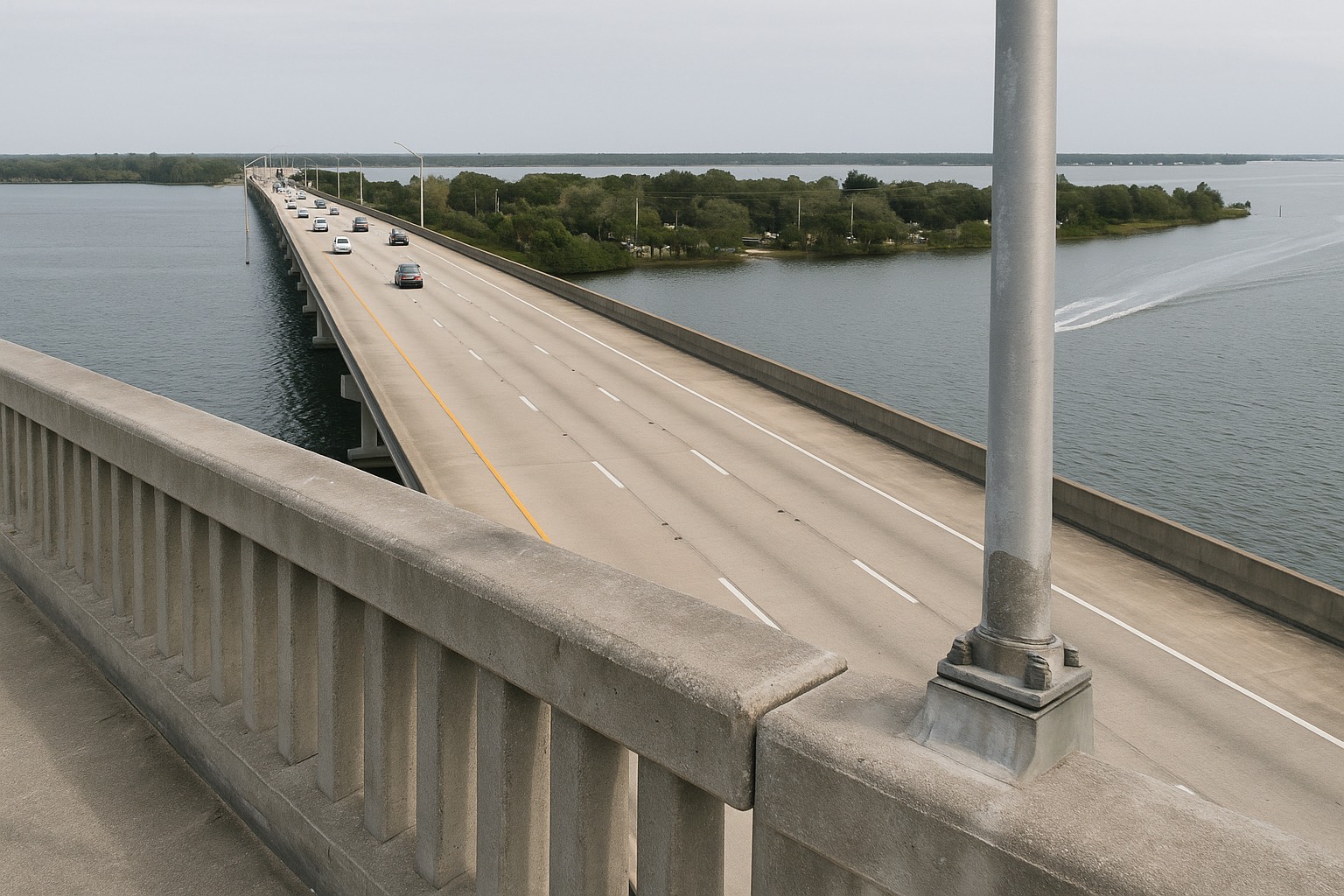
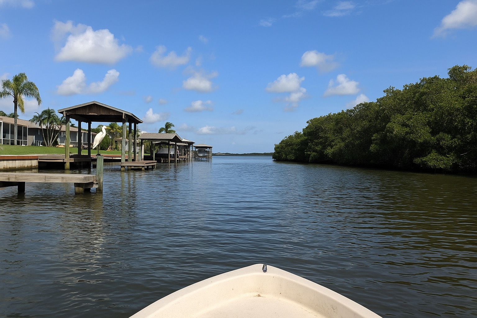
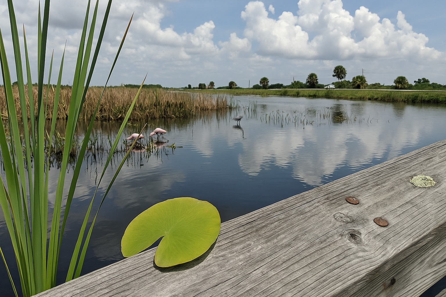
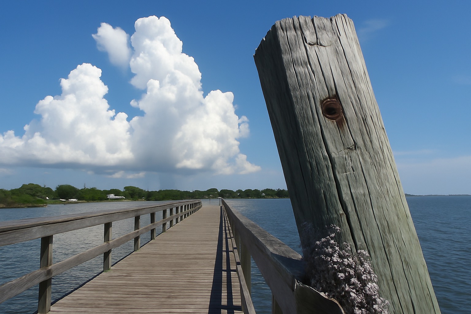
Start with the geography, because the geography sets the risk. Titusville runs along the western shore of the Indian River Lagoon in north Brevard, with US-1 tracing the waterfront through downtown and the Max Brewer Bridge crossing east toward the Merritt Island National Wildlife Refuge and the Kennedy Space Center side of the water. Look east from Space View Park and you are looking at open lagoon and, beyond it, the Vehicle Assembly Building. You are not on the sand here. Between you and the Atlantic there is a wide, shallow estuary and then several miles of refuge and undeveloped seashore.
That difference is real, and it shows up in the letters on the map. On the barrier island, FEMA's coastal high hazard designation, the V family, is common, because those parcels take direct wave action from the ocean. Titusville's exposure is a different mechanism: wind-driven water pushed up and across a shallow lagoon, rainfall that has nowhere fast to go, and, on the western side of the city, the flat marsh drainage of the St. Johns River basin. FEMA's mapping puts AE and both shaded and unshaded X inside Titusville's city limits, which is a sentence worth reading twice. A city can hold a high-risk designation on some shoreline parcels and the minimal-risk designation a mile inland, and Titusville does.
If you want the wider mainland-versus-beachside frame before you narrow to a parcel, I laid it out in the beachside versus mainland Brevard comparison, and the barrier-island version of this same cost conversation lives in the Cocoa Beach insurance and flood cost breakdown. For everything else about the city: the housing stock, the streets, the way north Brevard is laid out, start with my Titusville real estate guide.
The one-line version
Titusville takes water from two directions: the Indian River Lagoon on the east and the St. Johns River basin marshes on the west: so the flood answer here is parcel-specific in a way it is not on a narrow barrier island. Pull the zone before you pull comps.
Reading a Titusville address at the FEMA map center
You do not need a lender, an agent, or an insurance quote to find out what zone a house is in. FEMA publishes the maps and anyone can search them. Enter the full property address at the FEMA Flood Map Service Center and it returns the effective Flood Insurance Rate Map for that location, along with the zone the parcel falls in. For Titusville and most of Brevard County, FEMA's Community Status Book lists January 29, 2021 as the currently effective map date, which matters, because plenty of local flood pages and older listing sheets are still describing a map that has been superseded.
Three things trip people up on a north Brevard lookup, and all three are avoidable.
- The zone belongs to the parcel. Zone boundaries follow ground contours and modeled water surfaces, so they cut across blocks and sometimes across a single lot. A house can have an AE front yard and an X-zone building footprint. Confirm the address at the map center rather than trusting "the neighborhood is X."
- The listing is not a source. A flood zone typed into a listing remark by someone repeating what a seller said is hearsay, however well meant. I treat it as a starting hypothesis and nothing more.
- Get the parcel right first. Pull the property record at the Brevard County Property Appraiser so you are searching the legal parcel and its real situs address, helpful on older Titusville streets where addressing has changed and on unincorporated pockets just outside the city line.
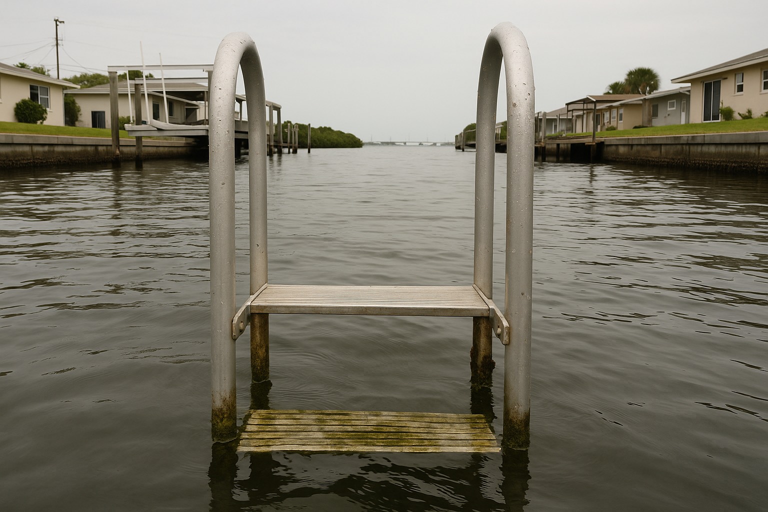
The zone letters themselves: what AE means, what separates shaded from unshaded X, why VE carries stricter construction rules, I walk through in detail in Space Coast flood zones explained, and I will not repeat all of it here. The short version for Titusville buyers: the A and V families are Special Flood Hazard Areas, which means a federally backed mortgage generally triggers a mandatory flood policy, and X is outside that requirement. Standing at the water's edge at Sand Point Park and looking at the Indian River Lagoon, you can see why the parcels closest to that water carry the higher designations. What you cannot see from there is where the line falls three streets back. The map can tell you. Guessing cannot.
If a parcel looks mismapped: the building sits on natural high ground that the map's contours missed, FEMA has a formal remedy. A Letter of Map Amendment removes a structure from the Special Flood Hazard Area on the basis of surveyed ground elevation, and the City of Titusville's floodplain administrator is the right first call about whether one exists for an address or is worth pursuing. That is a process with a real timeline, and it is no help to you in closing week.
Base Flood Elevation and the elevation certificate
Inside the Special Flood Hazard Areas, FEMA publishes a Base Flood Elevation: the height, in feet above a reference datum, that floodwater is modeled to reach in the base flood. The BFE is the yardstick. How a home's lowest floor sits relative to it drives both the physical risk and, historically, a large share of the insurance price. A house built well above the BFE generally fares better in an event than one built at or below it, and a slab-on-grade home built decades before anyone drew a BFE on a Titusville map may sit lower than the number now printed beside it.
Which brings us to the document. An Elevation Certificate is a FEMA form completed by a licensed land surveyor, engineer, or architect, documenting where the building sits relative to the BFE. For years it was the make-or-break paper for pricing a flood policy. Under FEMA's current pricing methodology, Risk Rating 2.0, most homeowners no longer need one to buy a National Flood Insurance Program policy, because FEMA uses its own elevation data, though a community or a lender may still ask for one in a high-risk zone to confirm the building meets local floodplain rules.
Here is the part I make sure Titusville buyers hear: the certificate is now optional and still useful. A policyholder can voluntarily obtain and submit one, and FEMA will apply the elevation value if it produces a better premium. On a raised home, that can be money. And there is a local shortcut worth knowing: the City of Titusville states that its office maintains copies of FEMA elevation certificates. On an older mainland house that has been through a permit, one may already be on file. Ask the Building Department for the address before you pay a surveyor to produce a new one.
Flood is its own policy regardless of any of this. It is excluded from every standard Florida homeowners form, and it is a separate contract from your wind coverage and hurricane deductible, a distinction I take apart in the wind versus flood insurance guide. In Titusville you are pricing both, and they respond to different facts about the same house.
What changes the premium on a Titusville parcel
Under Risk Rating 2.0, the NFIP prices a specific structure rather than pricing a zone. FEMA has published the categories of information that feed that rating, and they explain why two Titusville houses on the same street can quote very differently. Nobody can hand you a number without the address; anyone who does is guessing.
| What FEMA looks at | Why it matters in Titusville |
|---|---|
| Distance to a flooding source | The lagoon shoreline, the tributary creeks, and the St. Johns basin marshes on the west side all count. The relevant water is whichever is nearest, which in Titusville is rarely the ocean. |
| Flood type and frequency | Rainfall-driven and surge-driven flooding are modeled differently. A shallow estuary behaves unlike open Atlantic coast, which is why the barrier-island comparison misleads. |
| First-floor height and foundation type | North Brevard's older stock is heavy on slab-on-grade. A raised or piling foundation reads differently from a slab sitting near grade. |
| Replacement cost value of the structure | What it would cost to rebuild the building, which is not the purchase price and not the assessed value. |
| Coverage amount and deductible | Your own choices. The deductible is the lever most buyers forget they can pull. |
| Prior flood claims on the property | Loss history follows the structure. Ask the seller in writing and ask the insurance agent to check. |
Rating categories summarized from FEMA's published Risk Rating 2.0 methodology for the National Flood Insurance Program, as described at FloodSmart, as of August 2026. Individual premiums are set by the NFIP or a private carrier for a specific structure, get a real quote on the actual structure.
Two Titusville-specific wrinkles sit on top of that list. The first is age. A building constructed before its community's first Flood Insurance Rate Map is "pre-FIRM" in NFIP terms, and much of north Brevard's housing stock is old enough for that question to be live. Do not assume a date: ask the Titusville floodplain administrator for the city's initial FIRM date and where the property falls against it.
The second is the renovation rule, and it catches people who are buying an older lagoon-side house precisely because they intend to remodel it. Under the NFIP's floodplain management standards, a substantial improvement is work costing 50 percent or more of the structure's market value before the improvement, and substantial damage is measured the same way. Cross that threshold on a building in a Special Flood Hazard Area and the whole structure generally has to be brought into compliance with current floodplain requirements, which can mean raising it. That is a renovation budget question, a permit question, and sometimes a deal-breaker, and it is decided by the city, so ask the city. If you are weighing this against riverfront on the other side of the county, the same arithmetic runs differently in Rockledge riverfront, and current inventory across the city is on the Titusville listings page.
Titusville and the CRS discount
This is the piece of good news in the post, and it is a genuinely unusual one for a mainland Florida city. The Community Rating System is FEMA's voluntary program that rewards a local government for going beyond the federal minimum on floodplain management, better mapping, stricter building rules, drainage maintenance, public outreach, preserved open space. Verified work earns credit points, points set a class from 1 to 10, and the class becomes a percentage off NFIP premiums for property owners in that community. The scale runs backwards from how people expect: a lower class number is a bigger discount.
The City of Titusville states that it has maintained a Class 7 rating, qualifying residents for a 15 percent discount on NFIP premiums inside the Special Flood Hazard Area, and FEMA's published list of CRS communities and their classes puts the effective date of that class at May 1, 2011. That is not a rating the city picked up last year and might drop. It has held for well over a decade. You can check how any neighboring community rates in the same FEMA list.
The nuance most local flood pages have not caught up with matters here. Under Risk Rating 2.0, FEMA applies the CRS discount to the full-risk premium for NFIP policies in a participating community, including policies written outside the Special Flood Hazard Area. So if you buy an X-zone house in Titusville and carry a voluntary NFIP policy because you would rather be covered than be right, the Class 7 discount is in scope for that policy too. Ask your agent which percentage was applied and confirm it landed on the declaration page, the older assumption that the discount is only for high-risk zones is still widespread.
Three limits, stated plainly. FEMA reduces or withholds the discount where a premium rate cap is already binding, where the building has unresolved floodplain management violations, and on group or provisionally rated policies. A private flood policy will not carry the CRS discount at all, which is worth pricing both ways before you assume private is cheaper. The full city-by-city breakdown, the class table, and the exceptions are in Space Coast flood insurance and CRS discounts, and you can verify any community's current class yourself in FEMA's Community Status Book.
Brianna's take
Here is the part I will not soften. Titusville is where a lot of Space Coast buyers start when the budget is the constraint, and that is a large part of why buyers look here, but a flood premium on the wrong parcel can absorb a meaningful share of what the lower purchase price saved you. A 15 percent community discount does not rescue a slab house sitting below the Base Flood Elevation on the lagoon. It makes a good parcel cheaper to own; it does not make a bad one good. So the zone lookup happens before we tour rather than after we write, and if the numbers do not work I would rather tell you in the car than on the way to the closing table.
Before you waive the inspection period
Flood is a contingency-period problem. Once you are past your inspection and financing deadlines, the information you did not gather becomes a cost you carry for as long as you own the house. This is the sequence I run, in this order, on every Titusville contract.
- Pull the parcel, then the zone. Property record at the Brevard County Property Appraiser first, so you have the legal parcel and situs address; then the address at the FEMA Flood Map Service Center for the zone, the effective map, and the BFE if one is published.
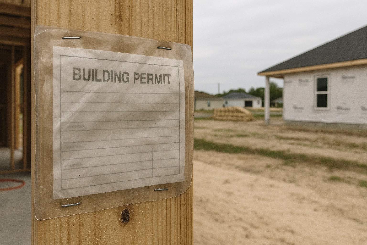
- Call the City of Titusville Building Department. Ask three questions: is there an elevation certificate on file for this address, what is the permit history on the structure, and has the property ever been the subject of a substantial improvement or substantial damage determination.
- Quote the actual structure. Have a licensed Florida agent quote the actual structure through the NFIP or a private carrier, with the deductible spelled out and the CRS discount confirmed on the quote. Do this while the inspection period is still open.
- Ask about loss history in writing. Prior flood claims follow the structure. The seller's disclosure is the place this belongs.
- Ask whether the seller's NFIP policy can be assigned to you. NFIP policies are generally transferable at closing, and on the right property an assignment can preserve rating terms you would not get on a new policy. Your agent and the carrier settle whether it makes sense.
- Look west as well as east. If the parcel sits toward the St. Johns River side of the city, drainage and basin questions belong to the St. Johns River Water Management District as much as to the lagoon.
None of that takes long. All of it happens before you are emotionally committed, which is the only time it is useful. Once you own the house, the maintenance side takes over, grading, gutters, soffits, the pre-season routine I set out in the coastal home maintenance and storm prep guide. And if you are still deciding whether north Brevard is the right trade at all, the value case and its honest costs are in what Titusville's lower price buys you, with recent sales context on the Titusville market page.
Frequently asked questions
Is Titusville in a flood zone?
Titusville contains several. FEMA's mapping puts high-risk AE designations and lower-risk X designations all inside the city limits, because the city sits on the west bank of the Indian River Lagoon with the St. Johns River basin marshes behind it to the west. That means the only useful answer is the one attached to a specific parcel. Enter the full address at the FEMA Flood Map Service Center to see the effective Flood Insurance Rate Map, the zone for that property, and the Base Flood Elevation if one is published. Do not rely on a flood zone typed into a listing remark.
How is Titusville's flood risk different from Cocoa Beach or Cape Canaveral?
The mechanism is different. On the barrier island, FEMA's coastal high hazard V designations are common because those parcels take direct wave action off the Atlantic. Titusville is mainland lagoon-front, so its exposure comes from wind-driven water pushed across a shallow estuary, rainfall with nowhere fast to drain, and the flat marsh drainage of the St. Johns River basin on the western side of the city. Both cities can carry high-risk designations, but the geography behind them is not the same, and a barrier-island rule of thumb will mislead you on a north Brevard parcel.
Do I need flood insurance to buy a house in Titusville?
It depends on the parcel. In FEMA's Special Flood Hazard Areas, which in Titusville means the AE zones, a federally backed mortgage generally triggers a mandatory flood policy for the life of the loan. In Zone X the policy is not federally required, so it becomes your choice. Flood is excluded from every standard Florida homeowners policy either way, so it is always a separate contract, written through the National Flood Insurance Program or a private flood insurer. Confirm the zone at the FEMA Flood Map Service Center before you budget.
How do I find the flood zone for a specific Titusville address?
Start at the Brevard County Property Appraiser to confirm the legal parcel and its situs address, which matters on older Titusville streets and in unincorporated pockets near the city line. Then enter that full address at the FEMA Flood Map Service Center, which returns the effective Flood Insurance Rate Map and the zone for the parcel. FEMA's Community Status Book lists January 29, 2021 as the currently effective map date for Titusville and most of Brevard County, so older local pages and listing sheets may be describing a superseded map.
What is Base Flood Elevation and why does it matter in Titusville?
In the Special Flood Hazard Areas FEMA publishes a Base Flood Elevation, the height in feet above a reference datum that floodwater is modeled to reach in the base flood. It is the yardstick everything else is measured against. How a home's lowest floor sits relative to that number affects both the physical risk and the insurance price, and a house built well above the BFE generally fares better than one built at or below it. This matters in Titusville because much of the north Brevard housing stock is slab-on-grade construction that predates the modeling now printed beside it on the map.
Do I need an elevation certificate to buy flood insurance in Titusville?
Usually not. Under FEMA's current pricing methodology, Risk Rating 2.0, most homeowners no longer need an elevation certificate to buy a National Flood Insurance Program policy, because FEMA uses its own elevation data, although a community or lender may still ask for one in a high-risk zone to confirm the building meets local floodplain rules. It is still worth having on a raised home, because a policyholder can voluntarily submit one and FEMA will apply the elevation value if it produces a better premium. The City of Titusville states that its office maintains copies of FEMA elevation certificates, so ask the Building Department for the address before paying a surveyor.
Does Titusville have a flood insurance discount?
Yes. The City of Titusville states that it has maintained a Community Rating System Class 7 rating, qualifying residents for a 15 percent discount on National Flood Insurance Program premiums inside the Special Flood Hazard Area, and FEMA's published list of CRS communities and their classes puts the effective date of that class at May 1, 2011. Under Risk Rating 2.0 FEMA applies the CRS discount to NFIP policies in a participating community including policies written outside the Special Flood Hazard Area, so an X-zone Titusville owner carrying a voluntary policy is in scope, at the percentage FEMA applies outside the high-risk area. The discount is reduced or withheld where a rate cap is already binding, where the building has unresolved floodplain violations, and on group or provisionally rated policies, and a private flood policy will not carry it at all.
Can a Titusville home in Zone X still flood?
Yes. Zone X is the lower-risk mapped designation rather than a guarantee, and rainfall and wind-driven water do not read maps. Shaded X sits between the one percent and the point two percent annual chance flood limits, and unshaded X sits outside both, but neither one means no exposure. What the designation changes is your choice and your price: outside the Special Flood Hazard Area a flood policy is generally optional and usually costs less, and in Titusville the community's Community Rating System discount is available on that voluntary policy too.
Keep reading
Want the flood answer on a specific Titusville address?
Send me the address and I will pull the parcel, the FEMA zone, the effective map and the Base Flood Elevation, and tell you what to ask the city Building Department before you write an offer. I have served Space Coast clients since 2015 and I would rather give you the inconvenient version early.
Data last verified: August 2026. Flood-zone, elevation and premium points summarized from the FEMA Flood Map Service Center, FEMA's Community Status Book, FEMA's Risk Rating 2.0 methodology and Community Rating System materials, the National Flood Insurance Program (NFIP / FloodSmart), the City of Titusville's floodplain and building pages, the Brevard County Property Appraiser, and the St. Johns River Water Management District, as of August 2026. Flood maps, CRS classes, rating rules and local ordinances change, confirm current specifics with a licensed Florida insurance agent, the Titusville floodplain administrator, and the relevant authority for your property.
Categories
- All Blogs (48)
- Cost of Living (3)
- Cost of Ownership (25)
- Decision Guide (9)
- Living in Cape Canaveral (8)
- Living in Cocoa Beach (5)
- Living in Melbourne (4)
- Living in Melbourne Beach (5)
- Living in Palm Bay (4)
- Living in Rockledge (3)
- Living in Satellite Beach (6)
- Living in Titusville (6)
- Living in Viera (4)
- Living on Merritt Island (4)
- When Buying (4)
- When Relocating (7)
Recent Posts